Transport Functions
Rail
Airport
Hub Profile
Place type
Provincial seat
Region
Nouvelle-Aquitaine
Population
36,205
Time zone
Europe/Paris
Elevation
51 m
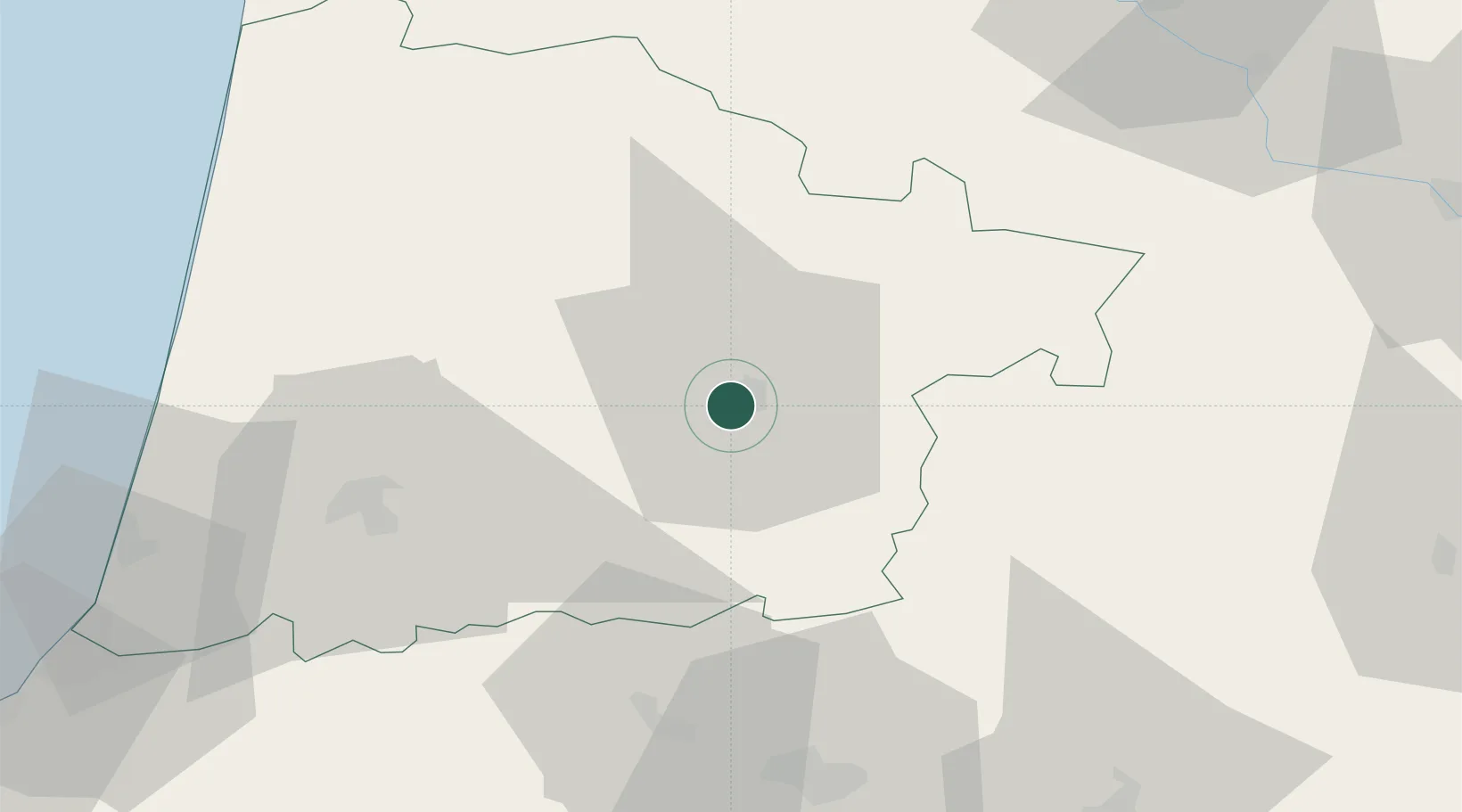
Location
Nearby Logistics Neighbours
Cities
- 1Haut-Mauco7 km
- 2Bougue10 km
- 3Saint-Martin-d'Oney12 km
- 4Caupenne-d'Armagnac17 km
- 5Arthez-d'Armagnac19 km
Ports
- 1Bayonne89 km
- 2Bordeaux110 km
- 3Ambes126 km
- 4Puerto De Pasajes131 km
- 5Blaye140 km
Airports
Trade Zones
- 1ZFU Hauts de Garonne105 km
- 2Port de Bordeaux114 km
- 3Depósito Franco de Pasajes (Guipúzcoa)130 km
- 4ZFU Toulouse159 km
- 5Depósito Franco de Bilbao213 km
DatabookThe Record of Consolidated Knowledge
France beyond logistics?