UN/LOCODE hub · France
FRHM2

Haut-Mauco

43.8333°, -0.5500°
803
Population
1
Transport functions

Transport Functions

Multimodal
UN/LOCODE

Hub Profile

Place type
Populated place
GeoNames
Region
Nouvelle-Aquitaine
GeoNames
Population
803
GeoNames
Time zone
Europe/Paris
GeoNames
Elevation
83 m
GeoNames

Location

Location of FRHM2
Natural Earth 10m (public domain) · Nouvelle-Aquitaine · FRHM2 · 43.83, -0.55GoogleOSMYandex

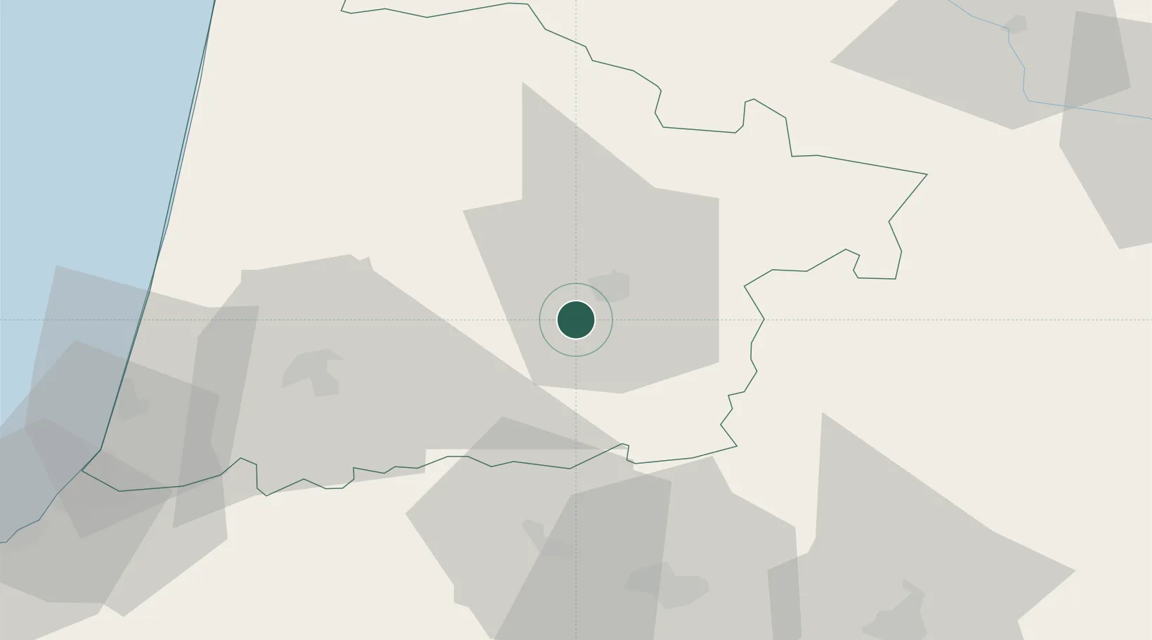
Nearby Logistics Neighbours

Cities
  1. 1Mont-de-Marsan7 km
  2. 2Caupenne-d'Armagnac11 km
  3. 3Saint-Martin-d'Oney13 km
  4. 4Souprosse13 km
  5. 5Montaut14 km
Nearest neighbours — logibook spatial index (haversine) over the source coordinates
Ports
  1. 1Bayonne83 km
  2. 2Bordeaux115 km
  3. 3Puerto De Pasajes125 km
  4. 4Ambes132 km
  5. 5Blaye145 km
Nearest neighbours — logibook spatial index (haversine) over the source coordinates
Airports
  1. 1Mont-de-Marsan (BA 118) Air Base9 km
  2. 2Pau Pyrénées Airport52 km
  3. 3Tarbes-Lourdes-Pyrénées Airport85 km
  4. 4Biarritz Pays Basque airport88 km
  5. 5Cazaux (BA 120) Air Base90 km
Nearest neighbours — logibook spatial index (haversine) over the source coordinates
Trade Zones
  1. 1ZFU Hauts de Garonne111 km
  2. 2Port de Bordeaux120 km
  3. 3Depósito Franco de Pasajes (Guipúzcoa)124 km
  4. 4ZFU Toulouse162 km
  5. 5Depósito Franco de Bilbao208 km
Nearest neighbours — logibook spatial index (haversine) over the source coordinates
DatabookThe Record of Consolidated Knowledge
France beyond logistics?
Browse databook

All Sources

LocationsUN/LOCODE
UN/LOCODE — free
LocationsGeoNames
CC BY 4.0
Portsthe NGA World Port Index
Public domain (US gov)
AirportsOurAirports
Public domain
Trade Zonesthe World Bank SEZ database
CC BY 4.0
Trade ZonesOpen Zone Map
CC BY
← France locations