Transport Functions
Multimodal
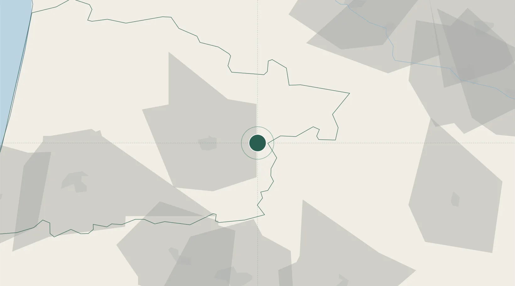
Hub Profile
Place type
Populated place
Region
Nouvelle-Aquitaine
Time zone
Europe/Paris
Elevation
98 m
Location
Nearby Logistics Neighbours
Cities
- 1Le Frêche5 km
- 2Lannemaignan5 km
- 3Lacquy6 km
- 4Monguilhem9 km
- 5Bougue9 km
Ports
- 1Bayonne106 km
- 2Bordeaux110 km
- 3Ambes126 km
- 4Blaye141 km
- 5Puerto De Pasajes148 km
Airports
Trade Zones
- 1ZFU Hauts de Garonne106 km
- 2Port de Bordeaux114 km
- 3ZFU Toulouse141 km
- 4Depósito Franco de Pasajes (Guipúzcoa)148 km
- 5Depósito Franco de Bilbao232 km
DatabookThe Record of Consolidated Knowledge
France beyond logistics?