Transport Functions
Multimodal
Hub Profile
Place type
Populated place
Region
Nouvelle-Aquitaine
Population
583
Time zone
Europe/Paris
Elevation
56 m
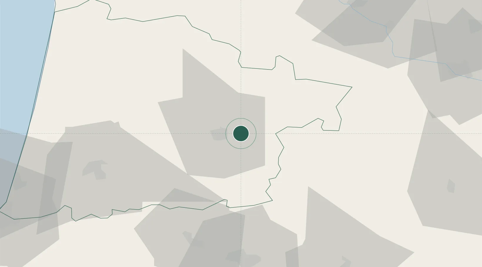
Location
Nearby Logistics Neighbours
Cities
- 1Arthez-d'Armagnac9 km
- 2Mont-de-Marsan10 km
- 3Lacquy11 km
- 4Le Frêche13 km
- 5Lannemaignan15 km
Ports
- 1Bayonne98 km
- 2Bordeaux109 km
- 3Ambes125 km
- 4Blaye139 km
- 5Puerto De Pasajes140 km
Airports
Trade Zones
- 1ZFU Hauts de Garonne105 km
- 2Port de Bordeaux113 km
- 3Depósito Franco de Pasajes (Guipúzcoa)140 km
- 4ZFU Toulouse150 km
- 5Depósito Franco de Bilbao223 km
DatabookThe Record of Consolidated Knowledge
France beyond logistics?