Transport Functions
Rail
Road
Hub Profile
Place type
Populated place
Region
Nouvelle-Aquitaine
Time zone
Europe/Paris
Elevation
53 m
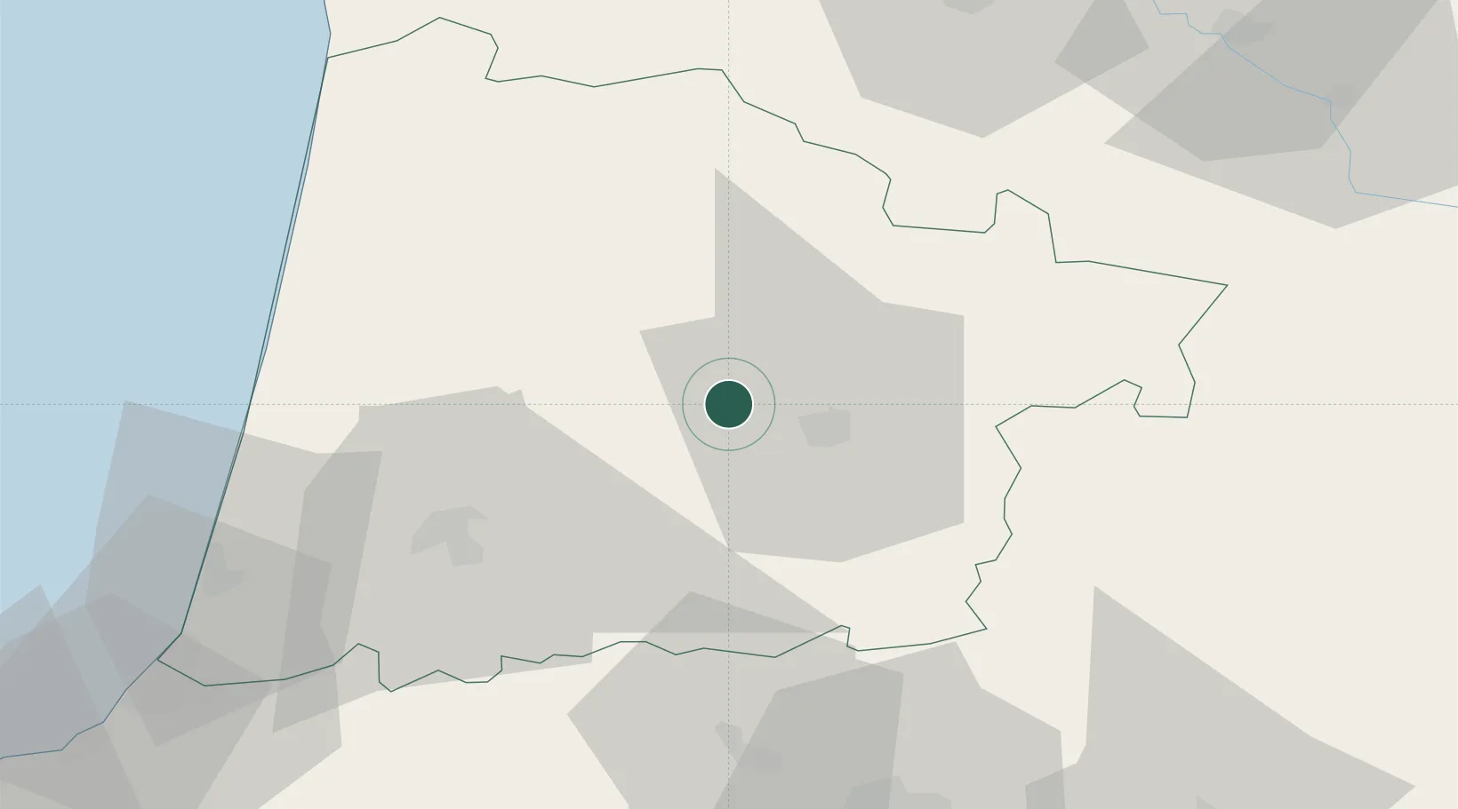
Location
Nearby Logistics Neighbours
Cities
- 1Mont-de-Marsan12 km
- 2Haut-Mauco13 km
- 3Caupenne-d'Armagnac17 km
- 4Souprosse18 km
- 5Bougue20 km
Ports
- 1Bayonne83 km
- 2Bordeaux104 km
- 3Ambes121 km
- 4Puerto De Pasajes124 km
- 5Blaye134 km
Airports
Trade Zones
- 1ZFU Hauts de Garonne100 km
- 2Port de Bordeaux109 km
- 3Depósito Franco de Pasajes (Guipúzcoa)124 km
- 4ZFU Toulouse171 km
- 5Depósito Franco de Bilbao205 km
DatabookThe Record of Consolidated Knowledge
France beyond logistics?