UN/LOCODE hub · France
FRMD8

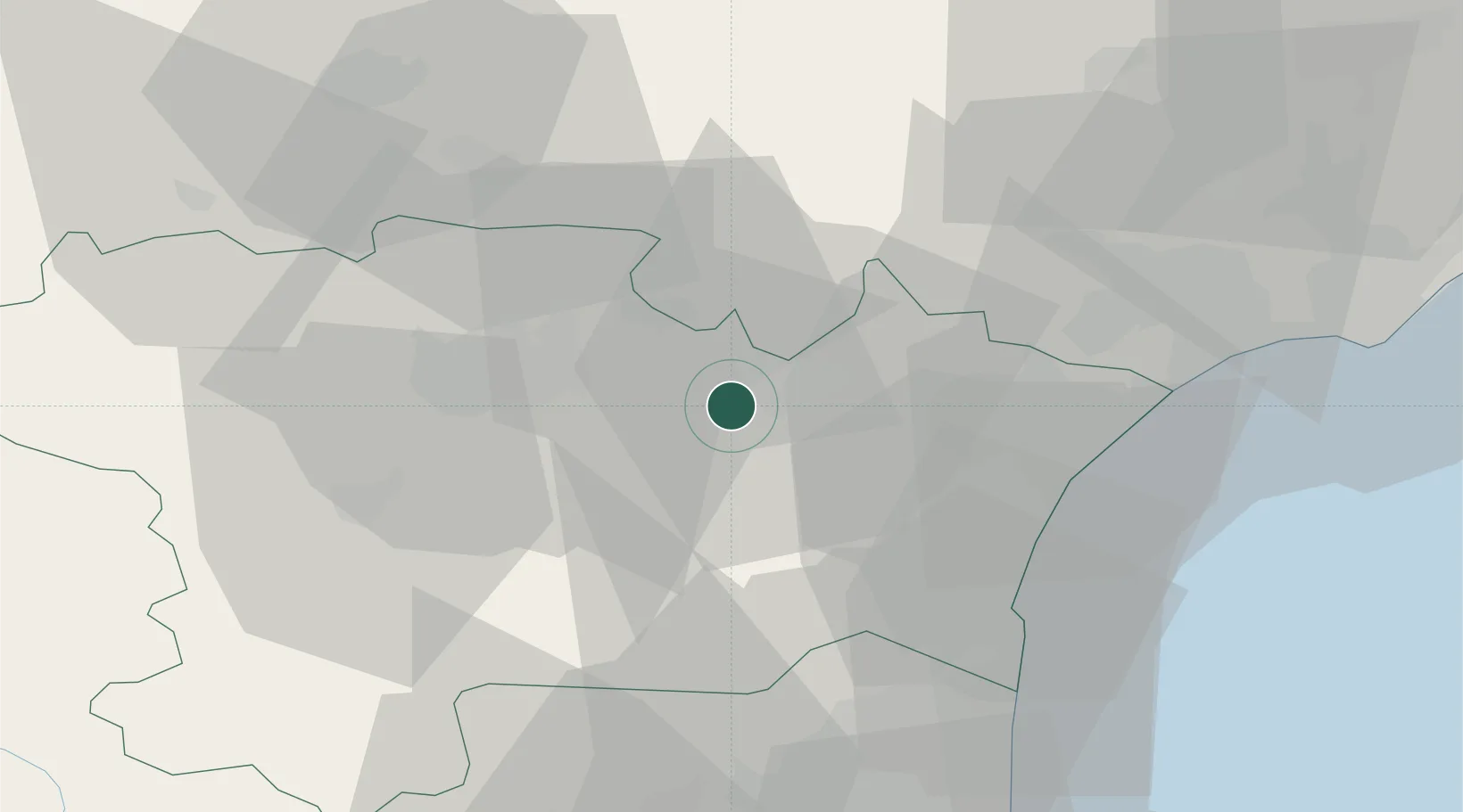
Montbrun-des-Corbières

43.2000°, 2.6833°
316
Population
2
Transport functions

Transport Functions

Road
Multimodal
UN/LOCODE

Hub Profile

Place type
Populated place
GeoNames
Region
Occitanie
GeoNames
Population
316
GeoNames
Time zone
Europe/Paris
GeoNames
Elevation
127 m
GeoNames

Location

Location of FRMD8
Natural Earth 10m (public domain) · Occitanie · FRMD8 · 43.20, 2.68GoogleOSMYandex

Nearby Logistics Neighbours

Cities
  1. 1Moux3 km
  2. 2Conilhac-Corbières3 km
  3. 3Fontcouverte4 km
  4. 4Argens-Minervois7 km
  5. 5Blomac7 km
Nearest neighbours — logibook spatial index (haversine) over the source coordinates
Ports
  1. 1Port-La-Nouvelle37 km
  2. 2Port-Vendres84 km
  3. 3Sete85 km
  4. 4Rosas112 km
  5. 5Palamos156 km
Nearest neighbours — logibook spatial index (haversine) over the source coordinates
Airports
  1. 1Carcassonne Salvaza Airport31 km
  2. 2Castres Mazamet Airport51 km
  3. 3Perpignan-Rivesaltes (Llabanère) Airport53 km
  4. 4Béziers Vias airport56 km
  5. 5Albi Le Sequestre airport92 km
Nearest neighbours — logibook spatial index (haversine) over the source coordinates
Trade Zones
  1. 1ZFU Béziers46 km
  2. 2ZFU Perpignan58 km
  3. 3ZFU Montpellier104 km
  4. 4ZFU Toulouse110 km
  5. 5ZFU Nîmes151 km
Nearest neighbours — logibook spatial index (haversine) over the source coordinates
DatabookThe Record of Consolidated Knowledge
France beyond logistics?
Browse databook

All Sources

LocationsUN/LOCODE
UN/LOCODE — free
LocationsGeoNames
CC BY 4.0
Portsthe NGA World Port Index
Public domain (US gov)
AirportsOurAirports
Public domain
Trade Zonesthe World Bank SEZ database
CC BY 4.0
Trade ZonesOpen Zone Map
CC BY
← France locations