UN/LOCODE hub · France
FRMWF

Blomac

43.2000°, 2.6000°
211
Population
2
Transport functions

Transport Functions

Port
Multimodal
UN/LOCODE

Hub Profile

Place type
Populated place
GeoNames
Region
Occitanie
GeoNames
Population
211
GeoNames
Time zone
Europe/Paris
GeoNames
Elevation
73 m
GeoNames

Location

Location of FRMWF
Natural Earth 10m (public domain) · Occitanie · FRMWF · 43.20, 2.60GoogleOSMYandex

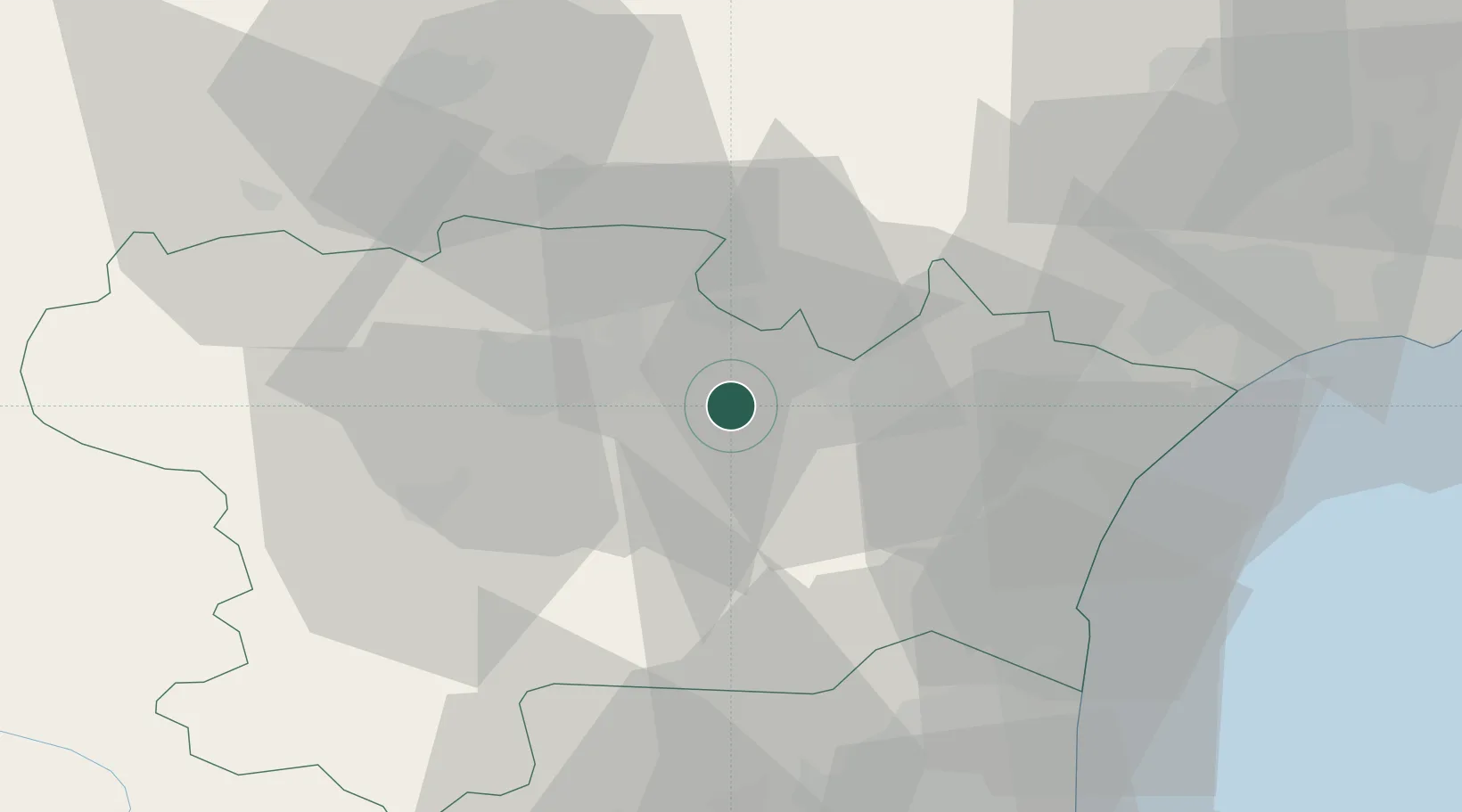
Nearby Logistics Neighbours

Cities
  1. 1Douzens2 km
  2. 2Moux5 km
  3. 3Capendu5 km
  4. 4La Redorte6 km
  5. 5Saint-Frichoux6 km
Nearest neighbours — logibook spatial index (haversine) over the source coordinates
Ports
  1. 1Port-La-Nouvelle43 km
  2. 2Port-Vendres87 km
  3. 3Sete92 km
  4. 4Rosas114 km
  5. 5Palamos158 km
Nearest neighbours — logibook spatial index (haversine) over the source coordinates
Airports
  1. 1Carcassonne Salvaza Airport24 km
  2. 2Castres Mazamet Airport47 km
  3. 3Perpignan-Rivesaltes (Llabanère) Airport56 km
  4. 4Béziers Vias airport63 km
  5. 5Albi Le Sequestre airport89 km
Nearest neighbours — logibook spatial index (haversine) over the source coordinates
Trade Zones
  1. 1ZFU Béziers52 km
  2. 2ZFU Perpignan61 km
  3. 3ZFU Toulouse104 km
  4. 4ZFU Montpellier110 km
  5. 5ZFU Nîmes157 km
Nearest neighbours — logibook spatial index (haversine) over the source coordinates
DatabookThe Record of Consolidated Knowledge
France beyond logistics?
Browse databook

All Sources

LocationsUN/LOCODE
UN/LOCODE — free
LocationsGeoNames
CC BY 4.0
Portsthe NGA World Port Index
Public domain (US gov)
AirportsOurAirports
Public domain
Trade Zonesthe World Bank SEZ database
CC BY 4.0
Trade ZonesOpen Zone Map
CC BY
← France locations