UN/LOCODE hub · France
FRMUK

Moux

43.1833°, 2.6500°
546
Population
1
Transport functions

Transport Functions

Multimodal
UN/LOCODE

Hub Profile

Place type
Populated place
GeoNames
Region
Occitanie
GeoNames
Population
546
GeoNames
Time zone
Europe/Paris
GeoNames
Elevation
103 m
GeoNames

Location

Location of FRMUK
Natural Earth 10m (public domain) · Occitanie · FRMUK · 43.18, 2.65GoogleOSMYandex

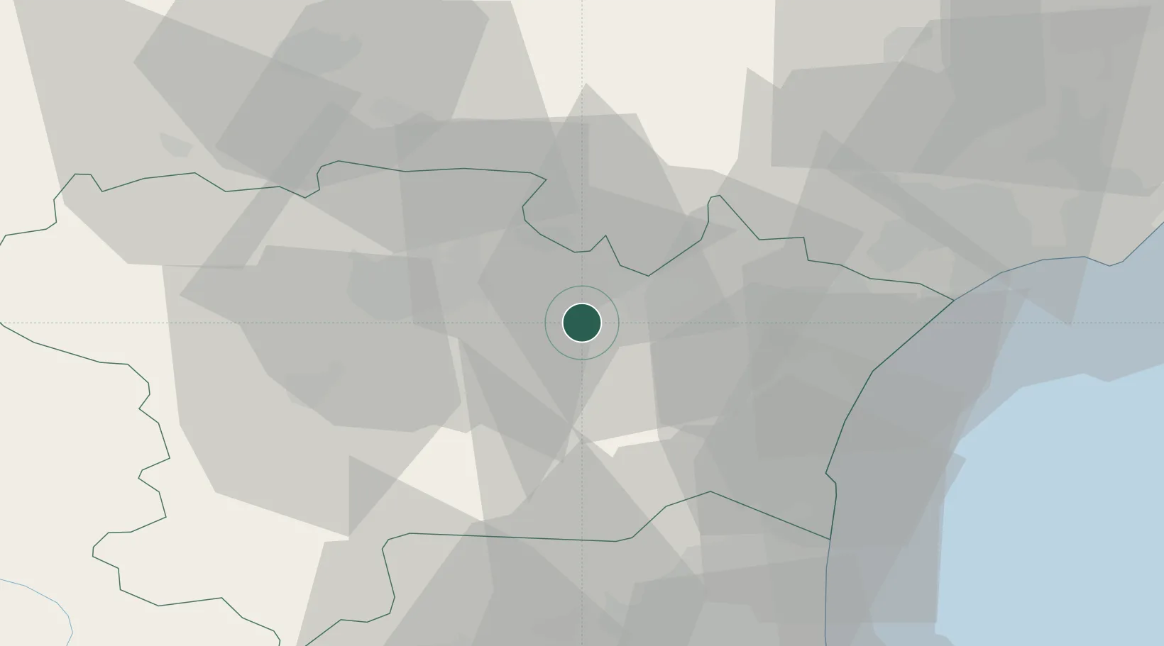
Nearby Logistics Neighbours

Cities
  1. 1Montbrun-des-Corbières3 km
  2. 2Douzens4 km
  3. 3Blomac5 km
  4. 4Fontcouverte5 km
  5. 5Conilhac-Corbières5 km
Nearest neighbours — logibook spatial index (haversine) over the source coordinates
Ports
  1. 1Port-La-Nouvelle39 km
  2. 2Port-Vendres83 km
  3. 3Sete88 km
  4. 4Rosas111 km
  5. 5Palamos155 km
Nearest neighbours — logibook spatial index (haversine) over the source coordinates
Airports
  1. 1Carcassonne Salvaza Airport28 km
  2. 2Castres Mazamet Airport51 km
  3. 3Perpignan-Rivesaltes (Llabanère) Airport52 km
  4. 4Béziers Vias airport59 km
  5. 5Albi Le Sequestre airport92 km
Nearest neighbours — logibook spatial index (haversine) over the source coordinates
Trade Zones
  1. 1ZFU Béziers49 km
  2. 2ZFU Perpignan57 km
  3. 3ZFU Montpellier107 km
  4. 4ZFU Toulouse108 km
  5. 5ZFU Nîmes154 km
Nearest neighbours — logibook spatial index (haversine) over the source coordinates
DatabookThe Record of Consolidated Knowledge
France beyond logistics?
Browse databook

All Sources

LocationsUN/LOCODE
UN/LOCODE — free
LocationsGeoNames
CC BY 4.0
Portsthe NGA World Port Index
Public domain (US gov)
AirportsOurAirports
Public domain
Trade Zonesthe World Bank SEZ database
CC BY 4.0
Trade ZonesOpen Zone Map
CC BY
← France locations