Transport Functions
Road
Multimodal
Hub Profile
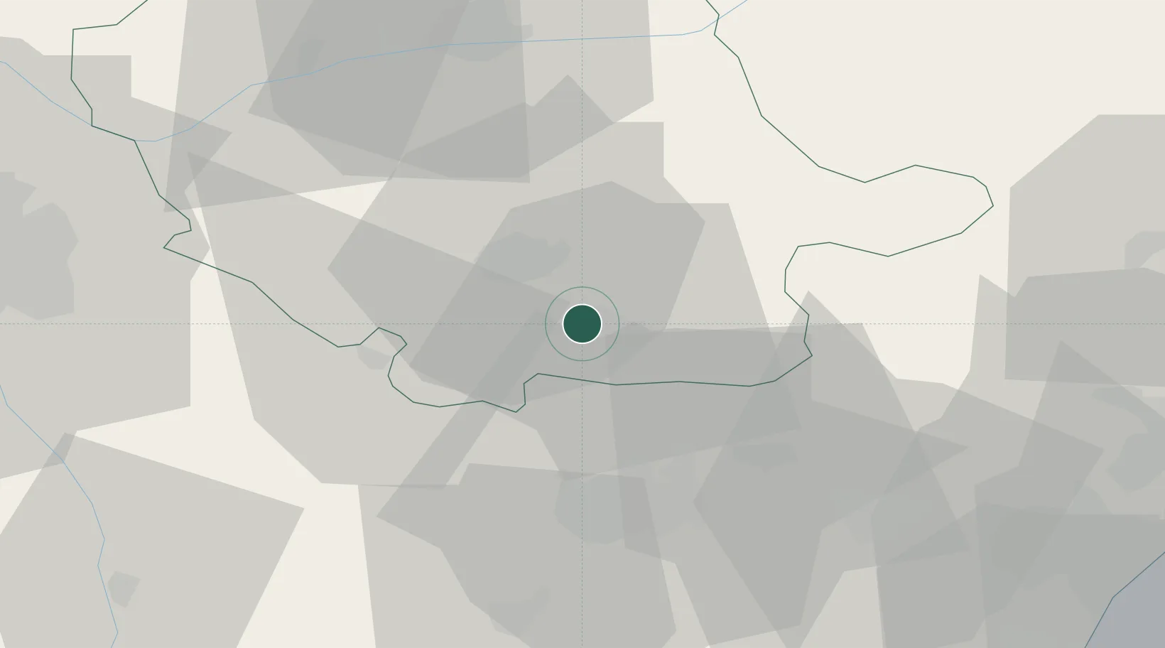
Place type
Populated place
Region
Occitanie
Population
313
Time zone
Europe/Paris
Elevation
192 m
Location
Nearby Logistics Neighbours
Cities
- 1Mazamet1 km
- 2Aiguefonde4 km
- 3Castres11 km
- 4Roquecourbe17 km
- 5Laboulbène18 km
Ports
- 1Port-La-Nouvelle82 km
- 2Sete112 km
- 3Port-Vendres129 km
- 4Rosas156 km
- 5Palamos198 km
Airports
Trade Zones
- 1ZFU Toulouse71 km
- 2ZFU Béziers75 km
- 3ZFU Perpignan102 km
- 4ZFU Montpellier124 km
- 5ZFU Nîmes167 km
DatabookThe Record of Consolidated Knowledge
France beyond logistics?