UN/LOCODE hub · France
FRSYL
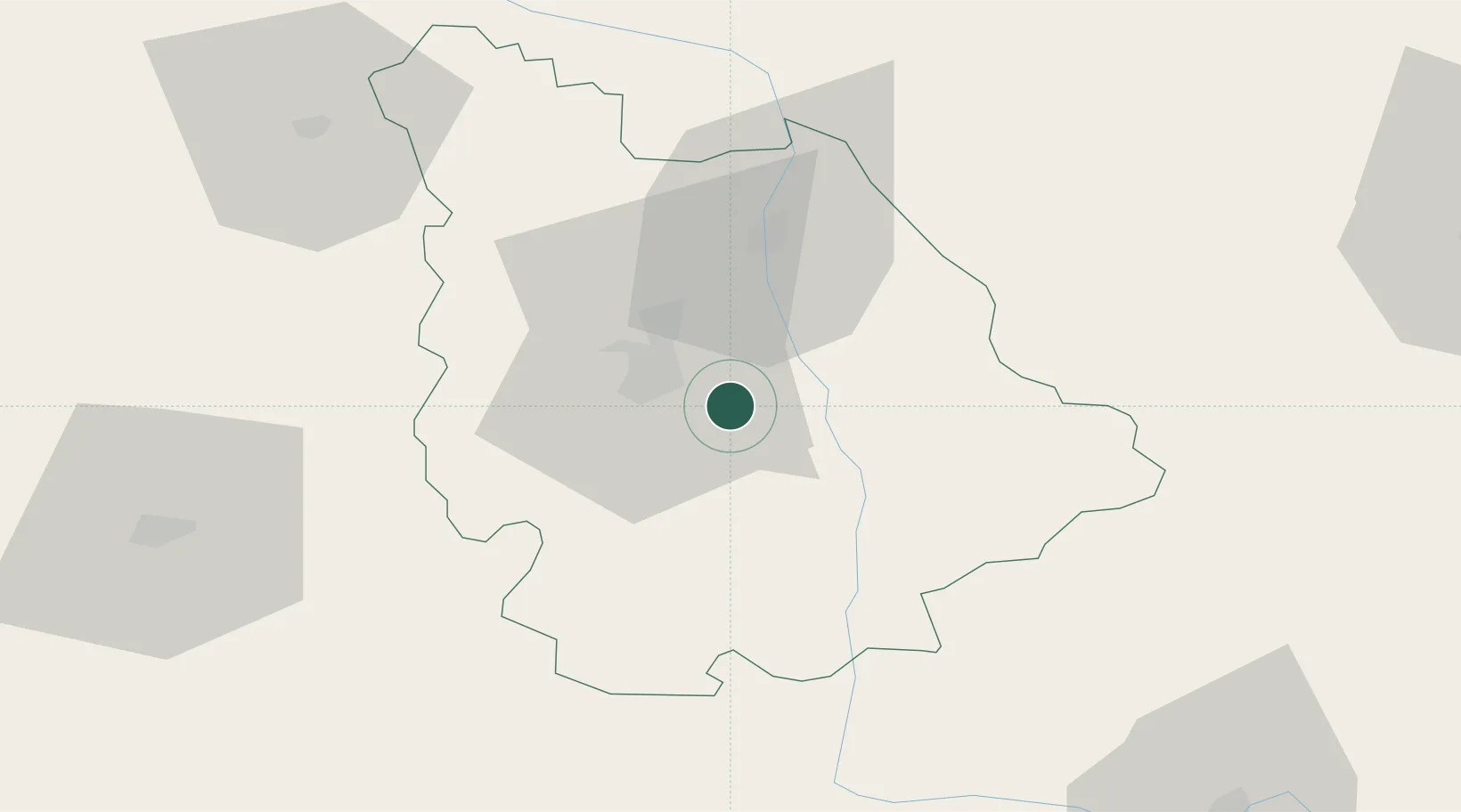
Savigny-Lévescault
46.5333°, 0.4833°
1,007
Population
2
Transport functions
Transport Functions
Road
Multimodal
Hub Profile
Place type
Populated place
Region
Nouvelle-Aquitaine
Population
1,007
Time zone
Europe/Paris
Elevation
116 m
Location
Nearby Logistics Neighbours
Cities
- 1Poitiers13 km
- 2Verrières15 km
- 3Beaumont23 km
- 4Marigny-Brizay25 km
- 5Châtellerault30 km
Ports
- 1Tonnay Charente126 km
- 2Rochefort129 km
- 3La Rochelle132 km
- 4La Pallice137 km
- 5Le Verdon161 km
Airports
Trade Zones
- 1ZFU Blois131 km
- 2ZFU Angers134 km
- 3ZFU La Rochelle137 km
- 4ZFU Bourges153 km
- 5ZFU Le Mans163 km
DatabookThe Record of Consolidated Knowledge
France beyond logistics?