UN/LOCODE hub · France
FRXER
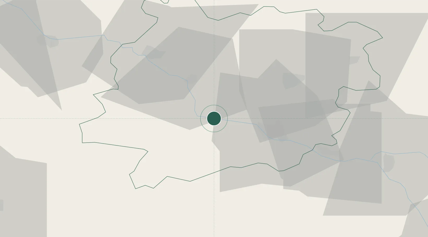
Port-Sainte-Marie
44.2500°, 0.4000°
1,928
Population
3
Transport functions
Transport Functions
Port
Rail
Multimodal
Hub Profile
Place type
Populated place
Region
Nouvelle-Aquitaine
Population
1,928
Time zone
Europe/Paris
Elevation
43 m
Location
Nearby Logistics Neighbours
Cities
- 1Bazens2 km
- 2Bruch4 km
- 3Bourran9 km
- 4Buzet-sur-Baïse9 km
- 5Espiens10 km
Airports
Trade Zones
- 1ZFU Hauts de Garonne101 km
- 2Port de Bordeaux104 km
- 3ZFU Toulouse110 km
- 4Depósito Franco de Pasajes (Guipúzcoa)213 km
- 5ZFU La Rochelle247 km
DatabookThe Record of Consolidated Knowledge
France beyond logistics?