Transport Functions
Multimodal
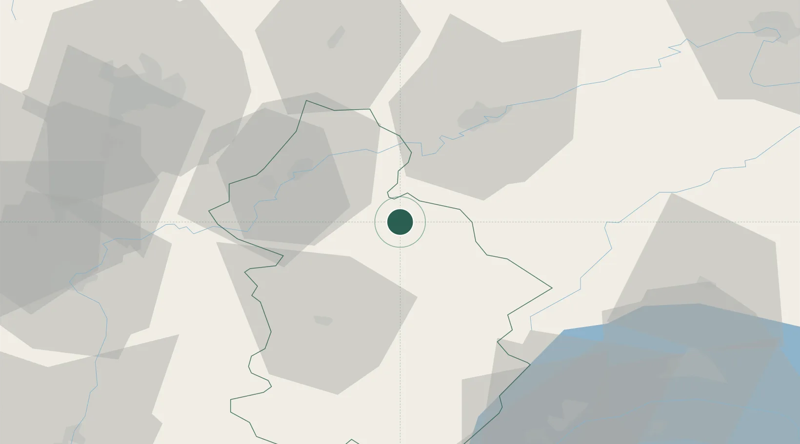
Hub Profile
Place type
Populated place
Region
Bourgogne
Time zone
Europe/Paris
Elevation
287 m
Location
Nearby Logistics Neighbours
Cities
- 1Montigny-lès-Arsures2 km
- 2Villette-lès-Arbois5 km
- 3Cramans6 km
- 4Mesnay6 km
- 5Salins-les-Bains7 km
Ports
- 1Savona361 km
- 2Rada Di Vado364 km
- 3Genova374 km
- 4Monaco380 km
- 5Nice380 km
Airports
- 1Dole Tavaux Airport29 km
- 2Dijon Longvic airport63 km
- 3Les Eplatures Airport78 km
- 4Vesoul-Frotey Airfield83 km
- 5Geneva Cointrin International Airport83 km
Trade Zones
DatabookThe Record of Consolidated Knowledge
France beyond logistics?