Transport Functions
Multimodal
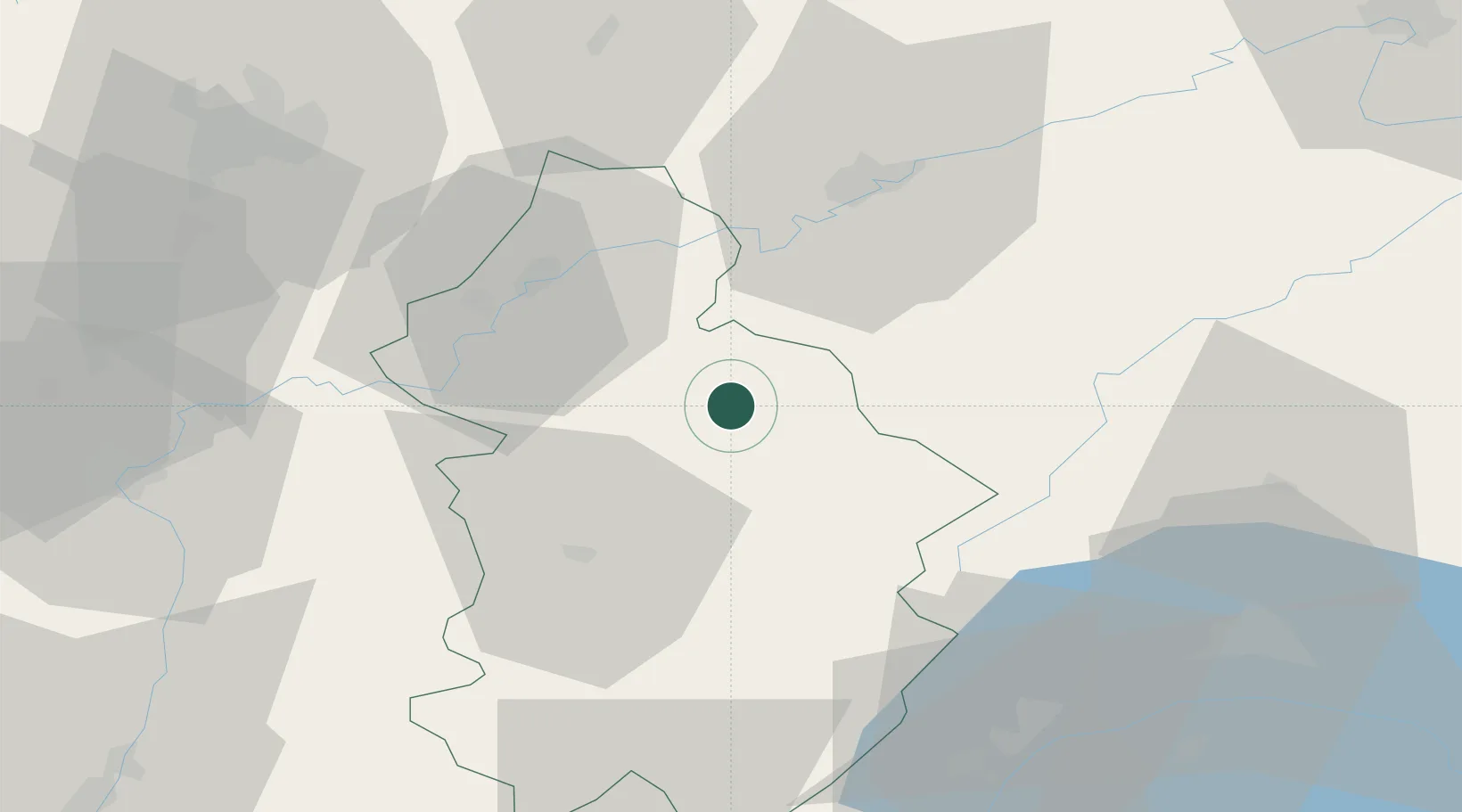
Hub Profile
Place type
Populated place
Region
Bourgogne
Population
589
Time zone
Europe/Paris
Elevation
322 m
Location
Nearby Logistics Neighbours
Cities
- 1Pupillin3 km
- 2Montigny-lès-Arsures4 km
- 3Villette-lès-Arbois4 km
- 4Les Arsures6 km
- 5Salins-les-Bains6 km
Ports
- 1Savona356 km
- 2Rada Di Vado358 km
- 3Genova369 km
- 4Monaco374 km
- 5Nice374 km
Airports
- 1Dole Tavaux Airport32 km
- 2Dijon Longvic airport68 km
- 3Geneva Cointrin International Airport77 km
- 4Les Eplatures Airport78 km
- 5Payerne Air Base85 km
Trade Zones
DatabookThe Record of Consolidated Knowledge
France beyond logistics?