Transport Functions
Rail
Road
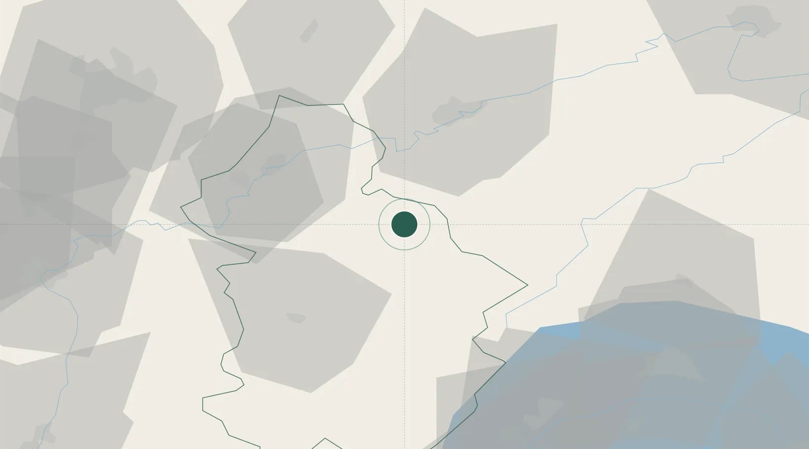
Hub Profile
Place type
Populated place
Region
Bourgogne
Population
3,534
Time zone
Europe/Paris
Elevation
326 m
Location
Nearby Logistics Neighbours
Cities
- 1Cernans5 km
- 2Mesnay6 km
- 3Montigny-lès-Arsures6 km
- 4Les Arsures7 km
- 5La Chapelle-sur-Furieuse7 km
Ports
- 1Savona356 km
- 2Rada Di Vado359 km
- 3Genova369 km
- 4Monaco376 km
- 5Nice376 km
Airports
- 1Dole Tavaux Airport35 km
- 2Dijon Longvic airport70 km
- 3Les Eplatures Airport72 km
- 4Geneva Cointrin International Airport80 km
- 5Payerne Air Base80 km
Trade Zones
DatabookThe Record of Consolidated Knowledge
France beyond logistics?