UN/LOCODE hub · France
FRVTQ
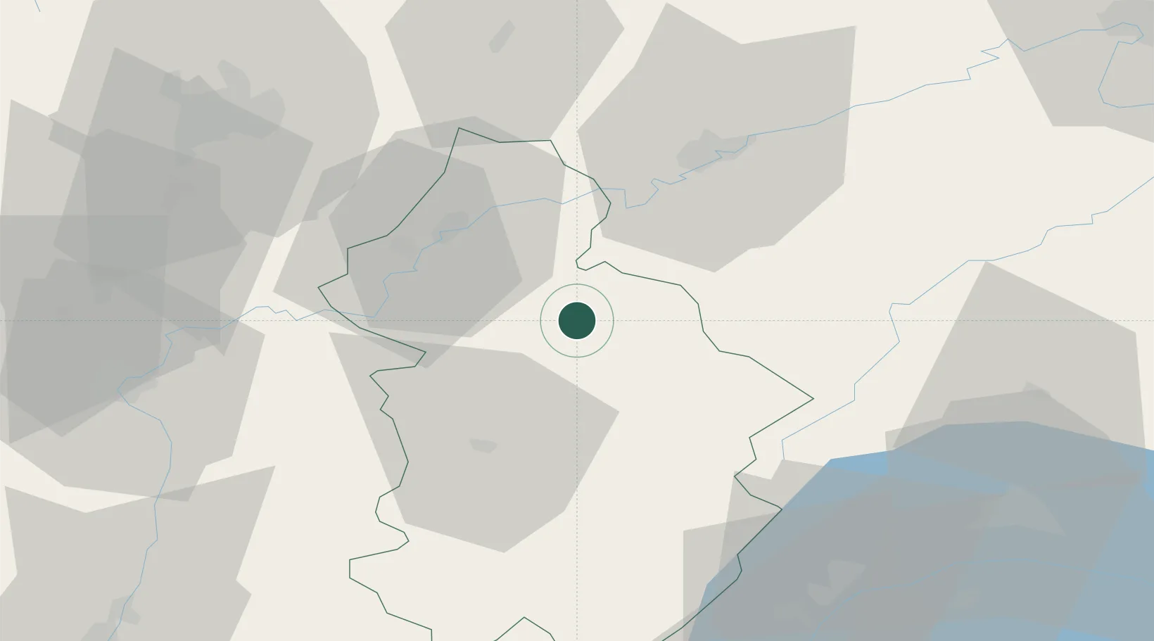
Villette-lès-Arbois
46.9167°, 5.7500°
317
Population
2
Transport functions
Transport Functions
Road
Multimodal
Hub Profile
Place type
Populated place
Region
Bourgogne
Population
317
Time zone
Europe/Paris
Elevation
257 m
Location
Nearby Logistics Neighbours
Cities
- 1Montigny-lès-Arsures3 km
- 2Pupillin4 km
- 3Mesnay4 km
- 4Les Arsures5 km
- 5Molamboz5 km
Ports
- 1Savona360 km
- 2Rada Di Vado362 km
- 3Genova373 km
- 4Monaco377 km
- 5Nice377 km
Airports
- 1Dole Tavaux Airport28 km
- 2Dijon Longvic airport64 km
- 3Geneva Cointrin International Airport80 km
- 4Les Eplatures Airport81 km
- 5Vesoul-Frotey Airfield87 km
Trade Zones
DatabookThe Record of Consolidated Knowledge
France beyond logistics?