Transport Functions
Multimodal
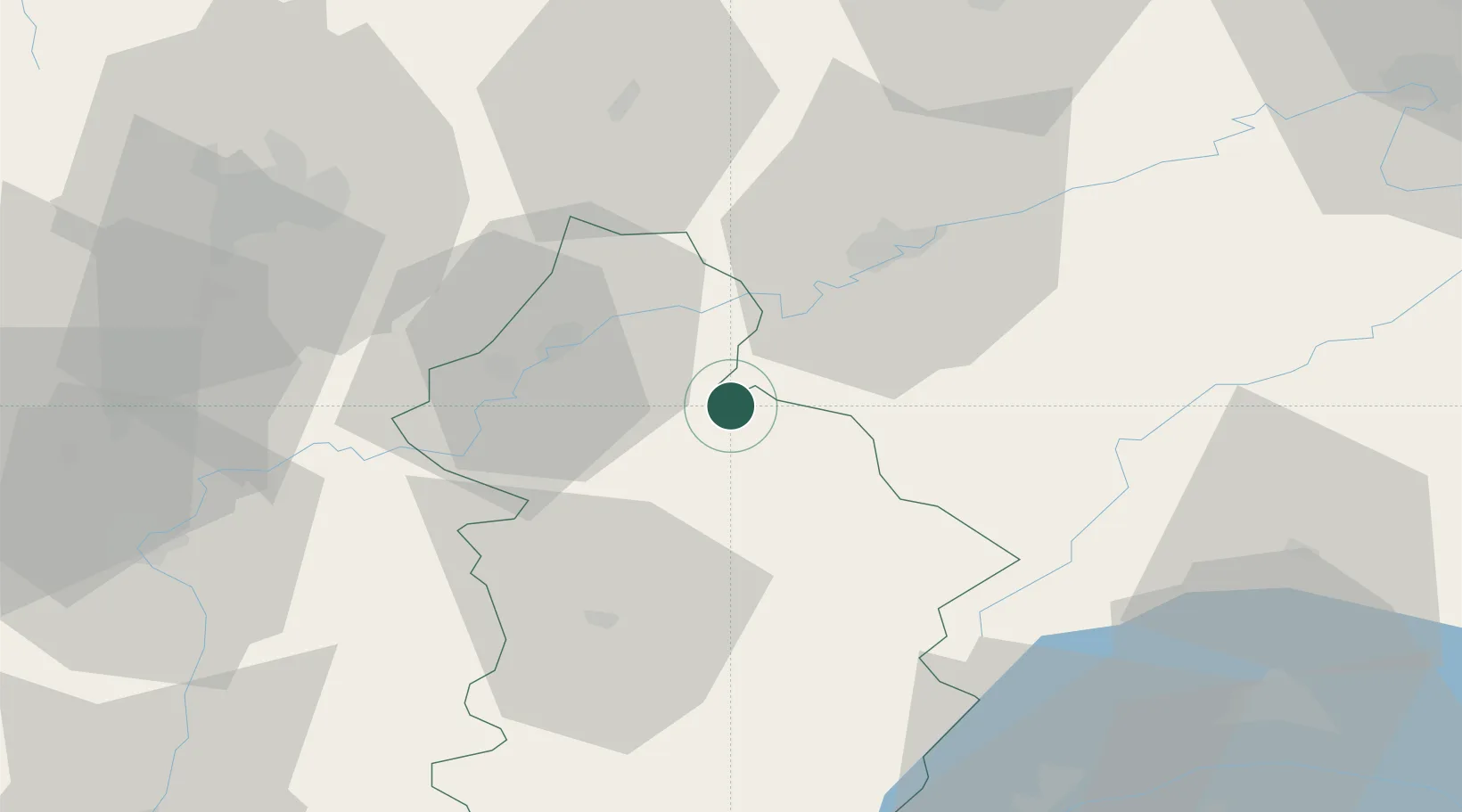
Hub Profile
Place type
Populated place
Region
Bourgogne
Population
445
Time zone
Europe/Paris
Elevation
233 m
Location
Nearby Logistics Neighbours
Cities
- 1Chissey-sur-Loue4 km
- 2Les Arsures6 km
- 3Liesle7 km
- 4Montigny-lès-Arsures8 km
- 5La Chapelle-sur-Furieuse8 km
Ports
- 1Savona366 km
- 2Rada Di Vado369 km
- 3Genova379 km
- 4Monaco385 km
- 5Nice386 km
Airports
- 1Dole Tavaux Airport26 km
- 2Dijon Longvic airport59 km
- 3Vesoul-Frotey Airfield78 km
- 4Les Eplatures Airport78 km
- 5Geneva Cointrin International Airport89 km
Trade Zones
DatabookThe Record of Consolidated Knowledge
France beyond logistics?