Transport Functions
Port
Road
Airport
Hub Profile
Place type
Populated place
Region
Provence-Alpes-Côte d'Azur
Time zone
Europe/Paris
Elevation
12 m
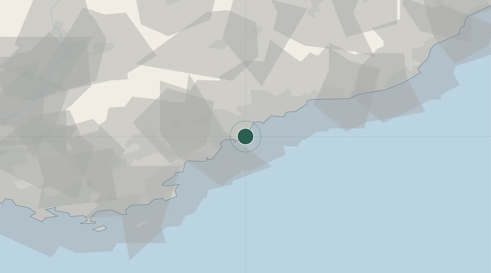
Location
Nearby Logistics Neighbours
Cities
- 1Antibes2 km
- 2Cannes7 km
- 3Le Rouret15 km
- 4Saint-Paul15 km
- 5Châteauneuf-Grasse16 km
Ports
- 1Antibes3 km
- 2Cannes7 km
- 3Nice21 km
- 4Villefranche23 km
- 5Monaco32 km
Airports
- 1Cannes Croisette Heliport6 km
- 2Cannes Mandelieu Airport12 km
- 3Nice-Côte d'Azur Airport14 km
- 4Monaco Heliport31 km
- 5Le Luc-Le Cannet Airfield61 km
Trade Zones
- 1ZFU LAriane25 km
- 2ZFU Toulon106 km
- 3ZFU La Seyne-sur-Mer115 km
- 4ZFU Marseille 15e et 16e143 km
- 5ZFU Saint-Barthélémy, Le Canet, Delorme-Paternelle154 km
DatabookThe Record of Consolidated Knowledge
France beyond logistics?