Transport Functions
Port
Rail
Airport
Hub Profile
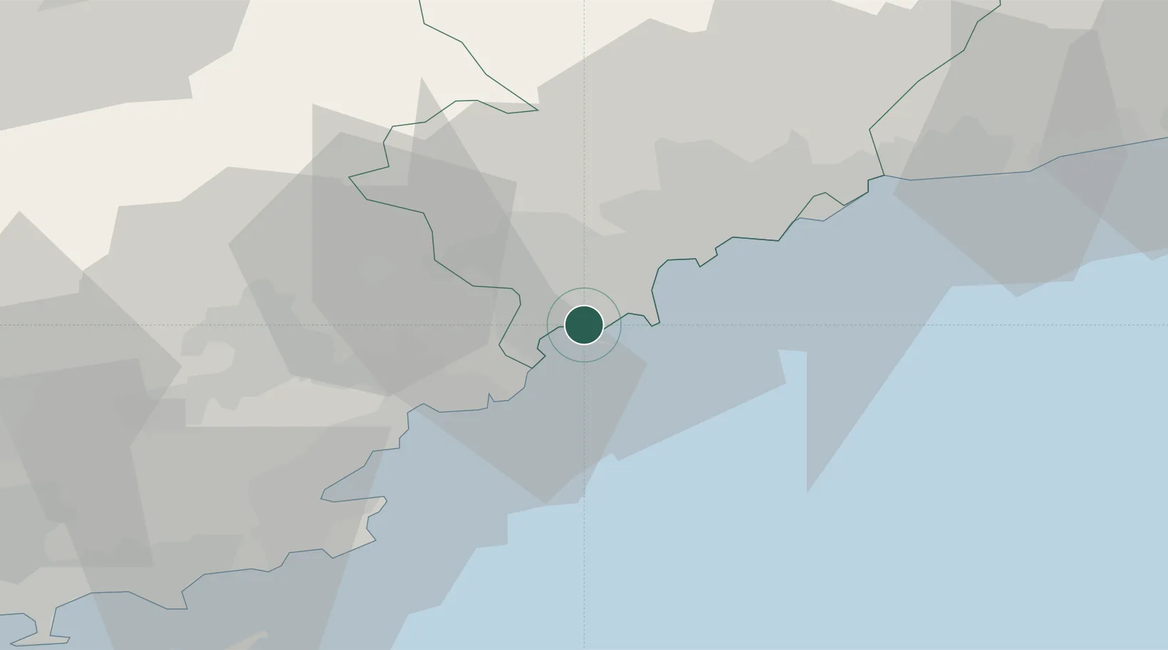
Place type
Populated place
Region
Provence-Alpes-Côte d'Azur
Population
74,545
Time zone
Europe/Paris
Elevation
0 m
Location
Nearby Logistics Neighbours
Cities
- 1Juan-les-Pins7 km
- 2Antibes9 km
- 3Grasse13 km
- 4Châteauneuf-Grasse14 km
- 5Le Rouret15 km
Ports
- 1Antibes10 km
- 2Saint-Raphael25 km
- 3Nice27 km
- 4Villefranche29 km
- 5Monaco38 km
Airports
Trade Zones
- 1ZFU LAriane31 km
- 2ZFU Toulon99 km
- 3ZFU La Seyne-sur-Mer108 km
- 4ZFU Marseille 15e et 16e136 km
- 5ZFU Saint-Barthélémy, Le Canet, Delorme-Paternelle147 km
DatabookThe Record of Consolidated Knowledge
France beyond logistics?