Transport Functions
Port
Road
Hub Profile
Place type
Populated place
Region
Provence-Alpes-Côte d'Azur
Population
76,393
Time zone
Europe/Paris
Elevation
1 m
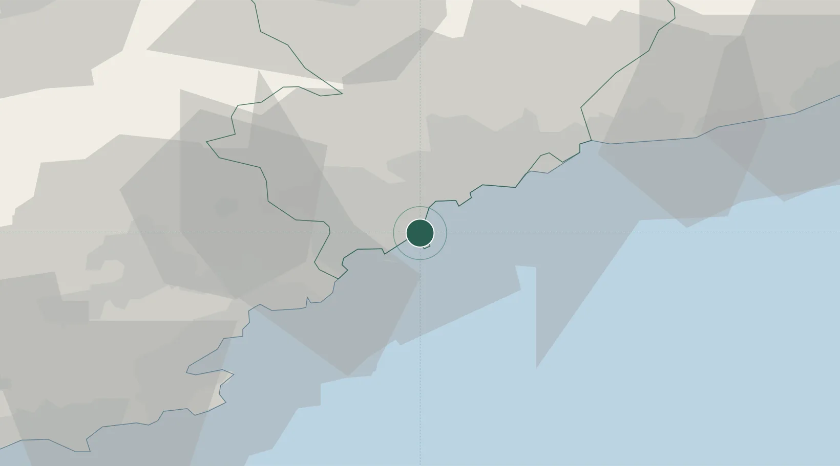
Location
Nearby Logistics Neighbours
Cities
- 1Juan-les-Pins2 km
- 2Cannes9 km
- 3Saint-Paul13 km
- 4Le Rouret14 km
- 5Châteauneuf-Grasse15 km
Ports
- 1Cannes9 km
- 2Nice19 km
- 3Villefranche21 km
- 4Monaco29 km
- 5Saint-Raphael34 km
Airports
- 1Cannes Croisette Heliport8 km
- 2Nice-Côte d'Azur Airport12 km
- 3Cannes Mandelieu Airport14 km
- 4Monaco Heliport29 km
- 5Le Luc-Le Cannet Airfield63 km
Trade Zones
- 1ZFU LAriane23 km
- 2ZFU Toulon108 km
- 3ZFU La Seyne-sur-Mer117 km
- 4ZFU Marseille 15e et 16e144 km
- 5ZFU Saint-Barthélémy, Le Canet, Delorme-Paternelle155 km
DatabookThe Record of Consolidated Knowledge
France beyond logistics?