UN/LOCODE hub · France
FR6CH
Châteauneuf-Grasse
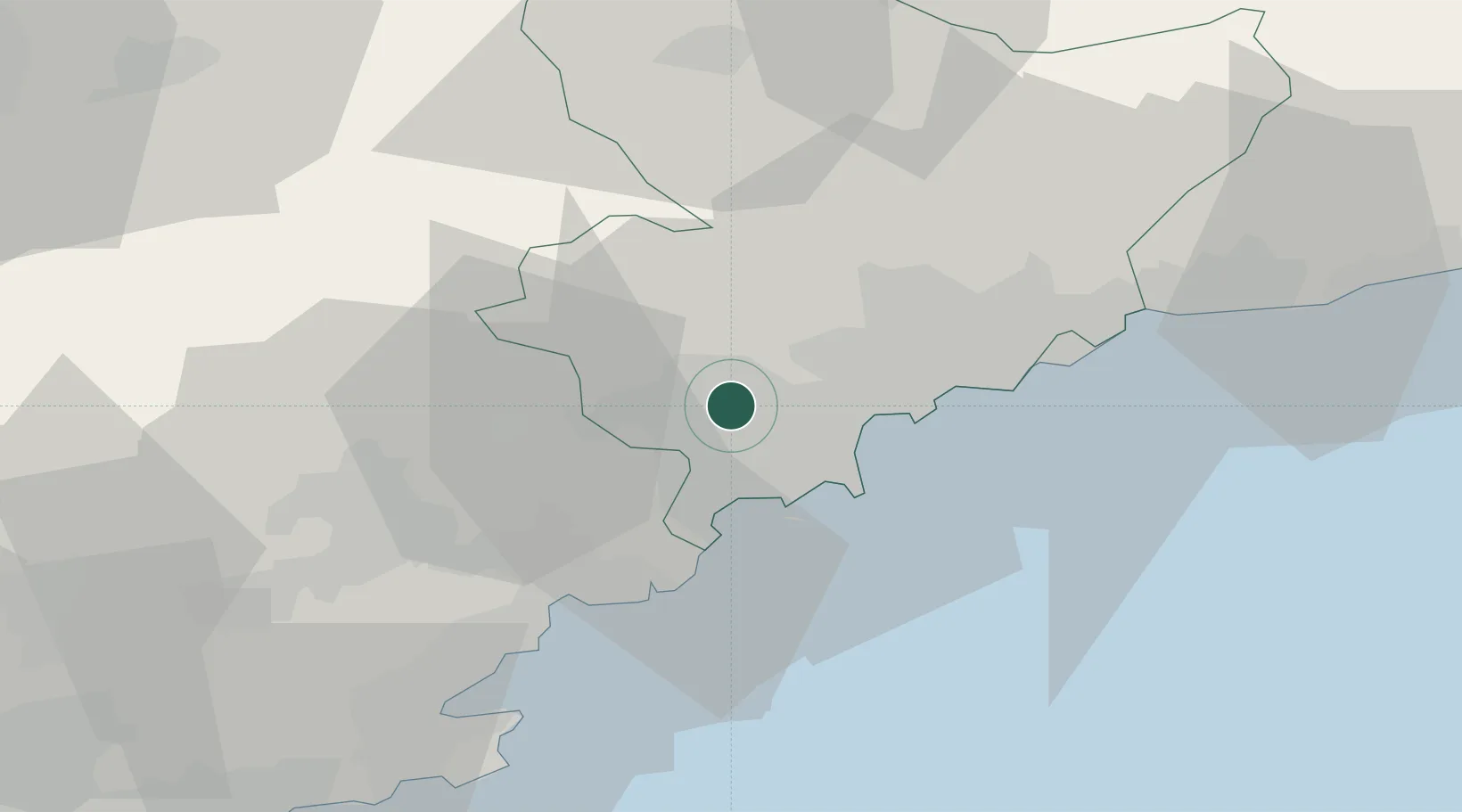
43.6667°, 6.9667°
3,134
Population
1
Transport functions
Transport Functions
Multimodal
Hub Profile
Place type
Populated place
Region
Provence-Alpes-Côte d'Azur
Population
3,134
Time zone
Europe/Paris
Elevation
258 m
Location
Nearby Logistics Neighbours
Cities
- 1Grasse3 km
- 2Le Rouret4 km
- 3Le Tignet10 km
- 4Saint-Paul13 km
- 5Cannes14 km
Ports
- 1Cannes14 km
- 2Antibes16 km
- 3Nice26 km
- 4Villefranche28 km
- 5Saint-Raphael32 km
Airports
- 1Cannes Mandelieu Airport13 km
- 2Cannes Croisette Heliport16 km
- 3Nice-Côte d'Azur Airport20 km
- 4Monaco Heliport37 km
- 5Le Luc-Le Cannet Airfield56 km
Trade Zones
- 1ZFU LAriane27 km
- 2ZFU Toulon103 km
- 3ZFU La Seyne-sur-Mer112 km
- 4ZFU Marseille 15e et 16e135 km
- 5ZFU Saint-Barthélémy, Le Canet, Delorme-Paternelle146 km
DatabookThe Record of Consolidated Knowledge
France beyond logistics?