Transport Functions
Multimodal
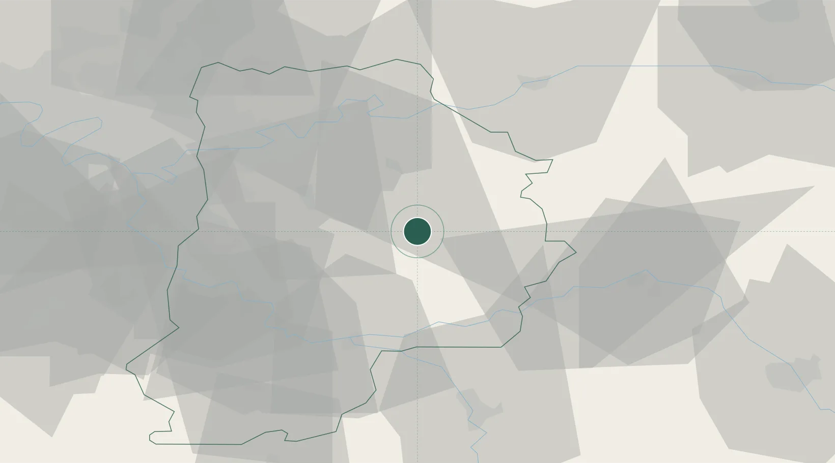
Hub Profile
Place type
Populated place
Region
Île-de-France
Population
1,525
Time zone
Europe/Paris
Elevation
125 m
Location
Nearby Logistics Neighbours
Cities
- 1Chailly-en-Brie13 km
- 2Grandpuits-Bailly-Carrois15 km
- 3Nangis16 km
- 4Poigny19 km
- 5Pommeuse19 km
Ports
- 1Port Of Rouen174 km
- 2Saint-Valery-Sur-Somme201 km
- 3Le Treport202 km
- 4Dieppe205 km
- 5Honfleur228 km
Airports
Trade Zones
- 1ZFU Montereau-Fault-Yonne34 km
- 2ZFU Meaux37 km
- 3ZFU Melun39 km
- 4ZFU Champigny-sur-Marne et Chennevières-sur-Marne46 km
- 5ZFU Epinay-sous-Sénart47 km
DatabookThe Record of Consolidated Knowledge
France beyond logistics?