Transport Functions
Multimodal
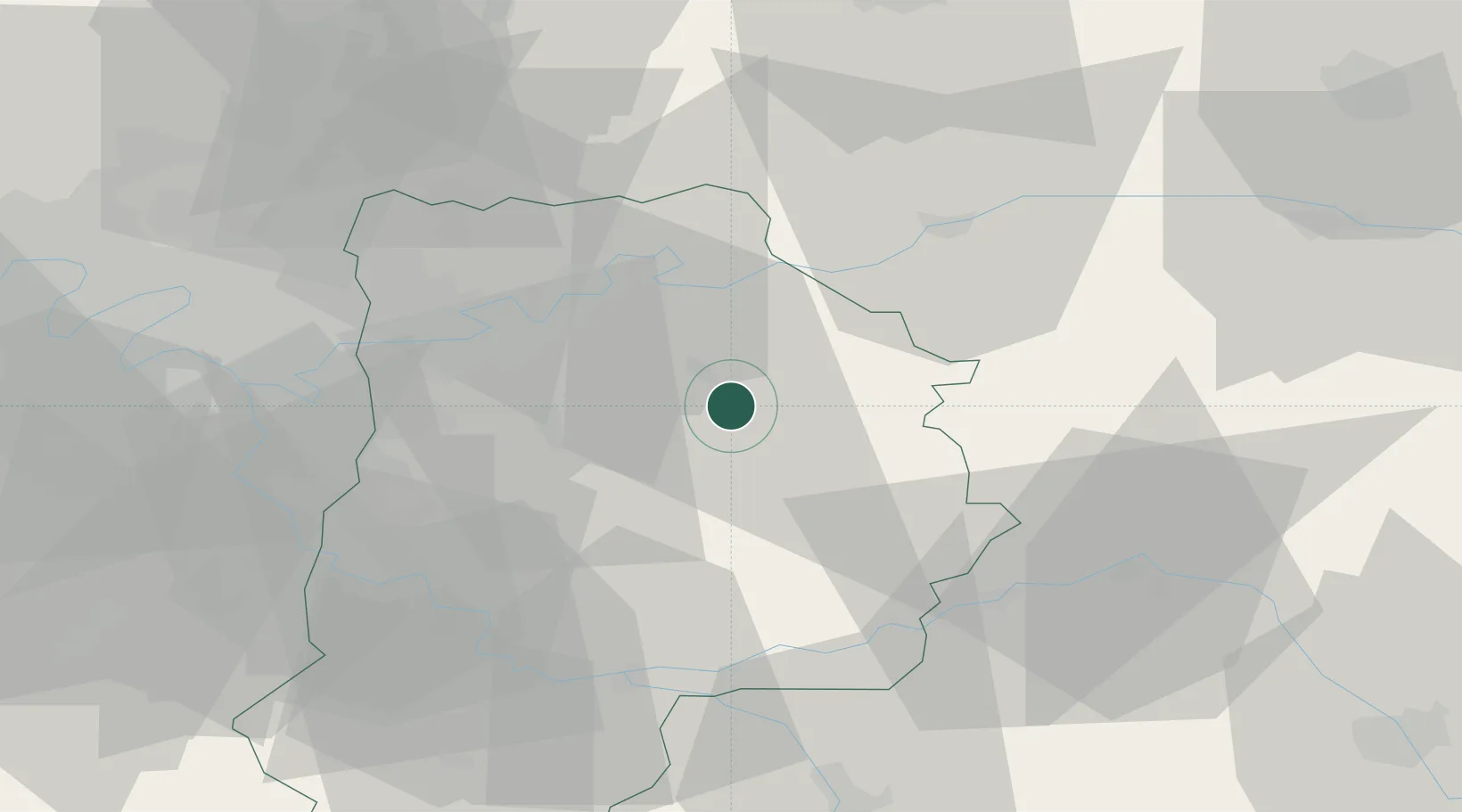
Hub Profile
Place type
Populated place
Region
Île-de-France
Population
1,485
Time zone
Europe/Paris
Elevation
141 m
Location
Nearby Logistics Neighbours
Cities
- 1Pommeuse8 km
- 2Maisoncelles-en-Brie13 km
- 3Jouy-le-Châtel13 km
- 4Crèvecur-en-Brie16 km
- 5La Chapelle-sur-Crécy16 km
Ports
- 1Port Of Rouen167 km
- 2Saint-Valery-Sur-Somme190 km
- 3Le Treport191 km
- 4Dieppe195 km
- 5Honfleur223 km
Airports
Trade Zones
DatabookThe Record of Consolidated Knowledge
France beyond logistics?