Transport Functions
Rail
Hub Profile
Place type
District seat
Region
Rhône-Alpes
Population
20,142
Time zone
Europe/Paris
Elevation
362 m
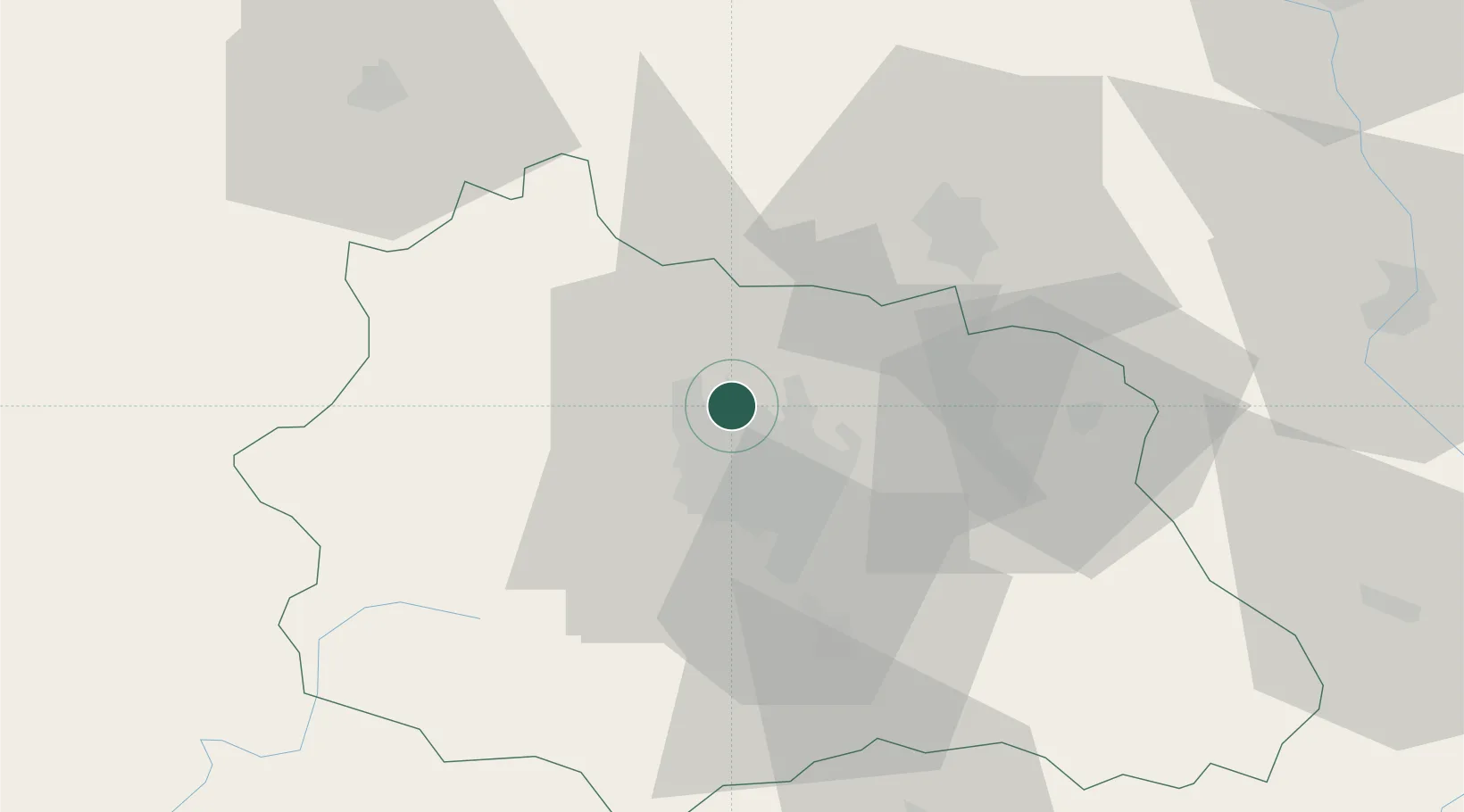
Location
Nearby Logistics Neighbours
Cities
- 1Mozac1 km
- 2Gerzat9 km
- 3Chappes10 km
- 4Aulnat12 km
- 5Clermont-Ferrand15 km
Airports
- 1Clermont-Ferrand Auvergne airport13 km
- 2Vichy-Charmeil Airport37 km
- 3Montluçon-Guéret Airport68 km
- 4Roanne-Renaison Airport70 km
- 5Saint-Yan Airport90 km
Trade Zones
- 1ZFU Clermont-Ferrand13 km
- 2ZFU Saint-Etienne106 km
- 3ZFU Lyon 9e132 km
- 4ZFU Rillieux-la-Pape135 km
- 5ZFU Vénissieux136 km
DatabookThe Record of Consolidated Knowledge
France beyond logistics?