Transport Functions
Road
Multimodal
Hub Profile
Place type
Populated place
Region
Rhône-Alpes
Population
5,880
Time zone
Europe/Paris
Elevation
568 m
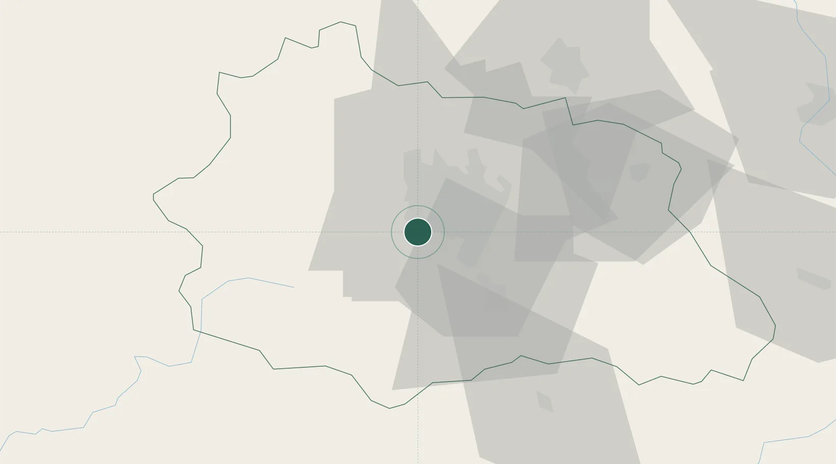
Location
Nearby Logistics Neighbours
Cities
- 1Pérignat-lès-Sarliève5 km
- 2Veyre-Monton10 km
- 3Le Cendre10 km
- 4Aulnat11 km
- 5Gerzat11 km
Ports
- 1Sete264 km
- 2Ambes292 km
- 3Fos295 km
- 4Port Saint Louis Du Rhone296 km
- 5Blaye299 km
Airports
Trade Zones
- 1ZFU Clermont-Ferrand6 km
- 2ZFU Saint-Etienne102 km
- 3ZFU Lyon 9e135 km
- 4ZFU Vénissieux139 km
- 5ZFU Rillieux-la-Pape139 km
DatabookThe Record of Consolidated Knowledge
France beyond logistics?