Transport Functions
Rail
Road
Hub Profile
Place type
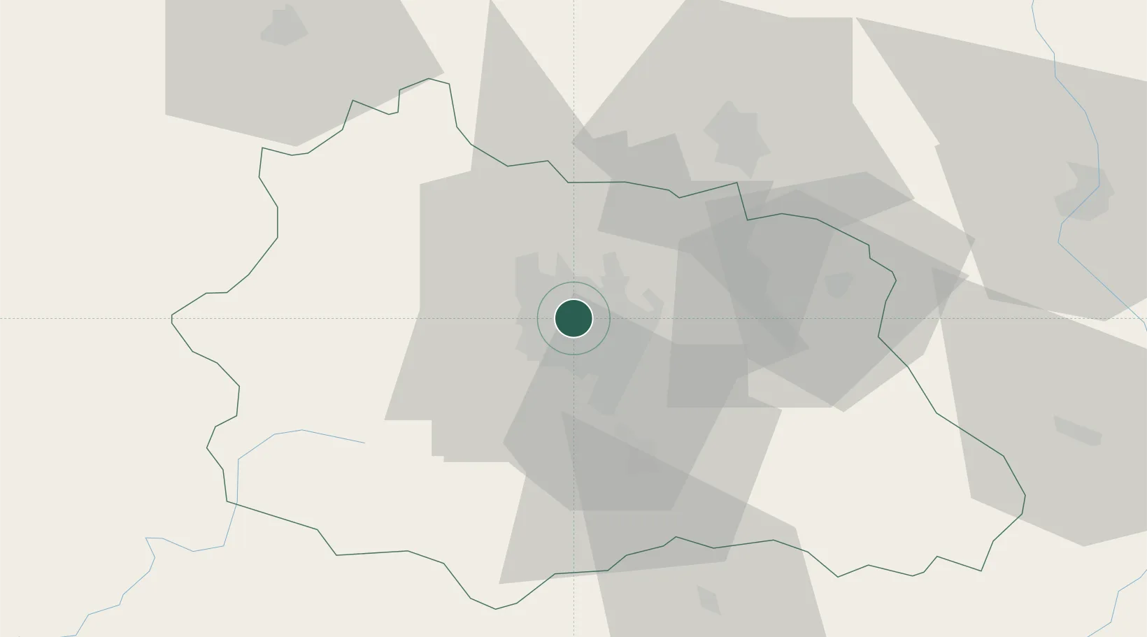
Populated place
Region
Rhône-Alpes
Population
9,382
Time zone
Europe/Paris
Elevation
327 m
Logistics facilities
1
Location
Nearby Logistics Neighbours
Cities
- 1Aulnat3 km
- 2Pont-du-Château9 km
- 3Riom9 km
- 4Chappes9 km
- 5Mozac9 km
Ports
- 1Sete273 km
- 2Ambes300 km
- 3Fos301 km
- 4Port Saint Louis Du Rhone302 km
- 5Blaye306 km
Airports
Trade Zones
- 1ZFU Clermont-Ferrand6 km
- 2ZFU Saint-Etienne100 km
- 3ZFU Lyon 9e129 km
- 4ZFU Rillieux-la-Pape133 km
- 5ZFU Vénissieux134 km
DatabookThe Record of Consolidated Knowledge
France beyond logistics?