Transport Functions
Multimodal
Hub Profile
Place type
Populated place
Region
Nouvelle-Aquitaine
Time zone
Europe/Paris
Elevation
127 m
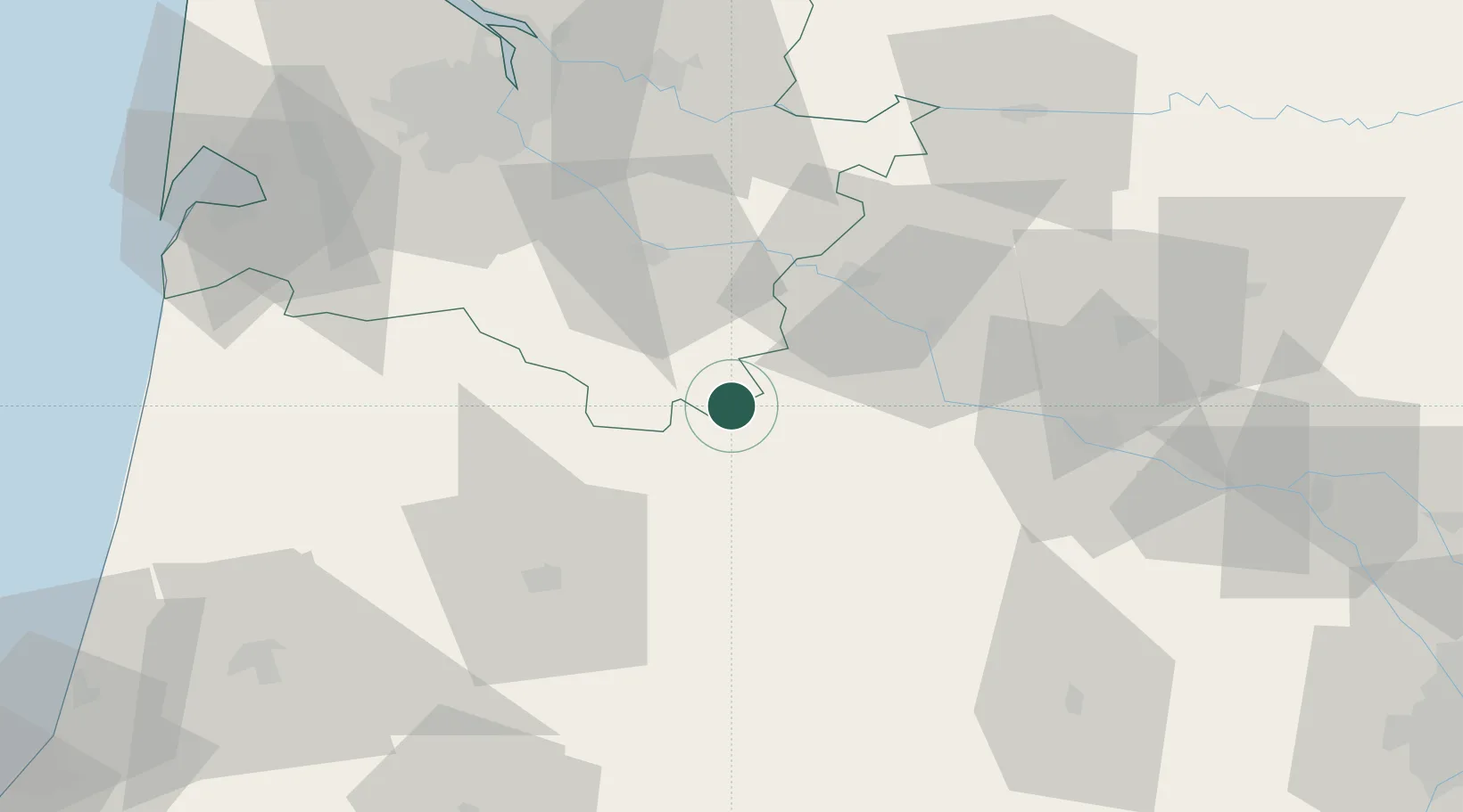
Location
Nearby Logistics Neighbours
Cities
- 1Grignols15 km
- 2Casteljaloux16 km
- 3Villefranche-du-Queyran25 km
- 4Auros28 km
- 5Savignac30 km
Airports
Trade Zones
- 1ZFU Hauts de Garonne75 km
- 2Port de Bordeaux81 km
- 3ZFU Toulouse143 km
- 4Depósito Franco de Pasajes (Guipúzcoa)179 km
- 5ZFU La Rochelle230 km
DatabookThe Record of Consolidated Knowledge
France beyond logistics?