Transport Functions
Multimodal
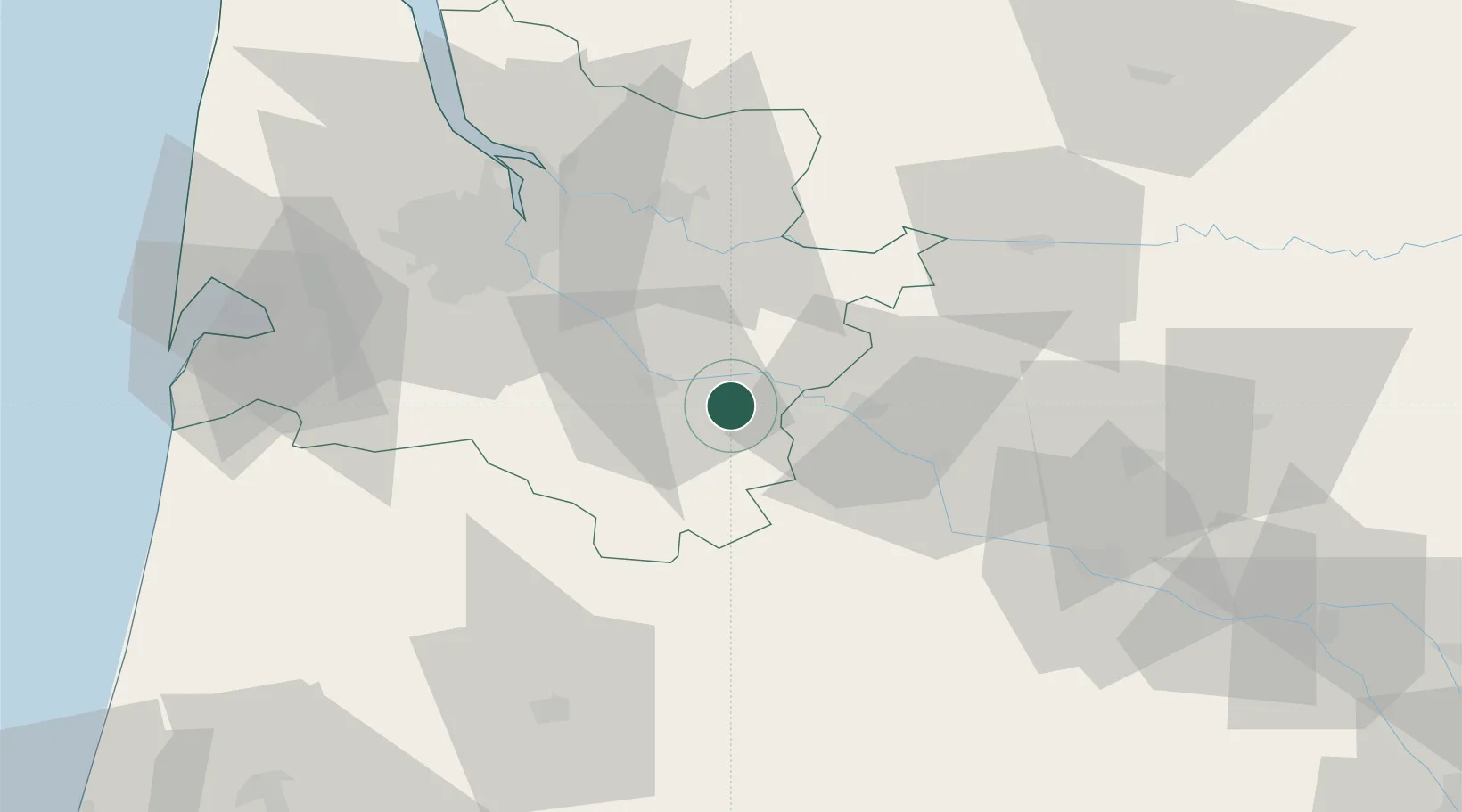
Hub Profile
Place type
Populated place
Region
Nouvelle-Aquitaine
Population
510
Time zone
Europe/Paris
Elevation
54 m
Location
Nearby Logistics Neighbours
Cities
- 1Auros3 km
- 2Castets-en-Dorthe5 km
- 3Bieujac5 km
- 4Loupiac-de-la-Réole7 km
- 5Caudrot8 km
Airports
Trade Zones
- 1ZFU Hauts de Garonne50 km
- 2Port de Bordeaux55 km
- 3ZFU Toulouse161 km
- 4Depósito Franco de Pasajes (Guipúzcoa)196 km
- 5ZFU La Rochelle202 km
DatabookThe Record of Consolidated Knowledge
France beyond logistics?