Transport Functions
Multimodal
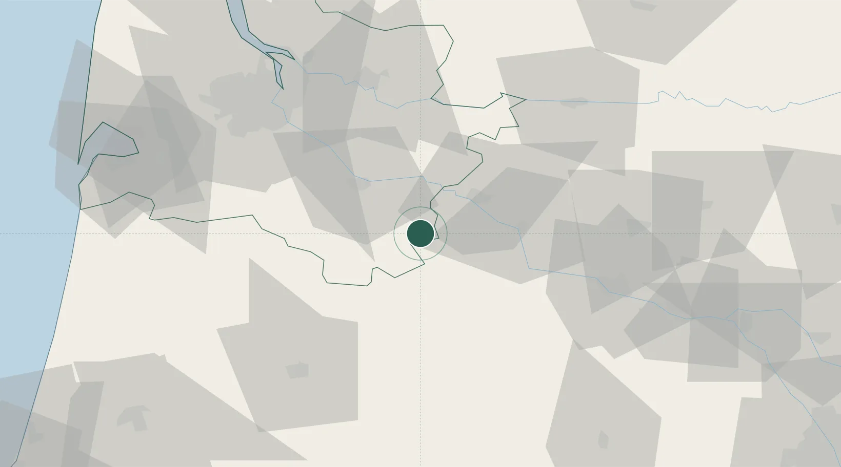
Hub Profile
Place type
Populated place
Region
Nouvelle-Aquitaine
Population
1,148
Time zone
Europe/Paris
Elevation
147 m
Location
Nearby Logistics Neighbours
Cities
- 1Casteljaloux14 km
- 2Auros15 km
- 3Lartigue15 km
- 4Savignac16 km
- 5Loupiac-de-la-Réole19 km
Airports
Trade Zones
- 1ZFU Hauts de Garonne65 km
- 2Port de Bordeaux70 km
- 3ZFU Toulouse147 km
- 4Depósito Franco de Pasajes (Guipúzcoa)191 km
- 5ZFU La Rochelle218 km
DatabookThe Record of Consolidated Knowledge
France beyond logistics?