Transport Functions
Multimodal
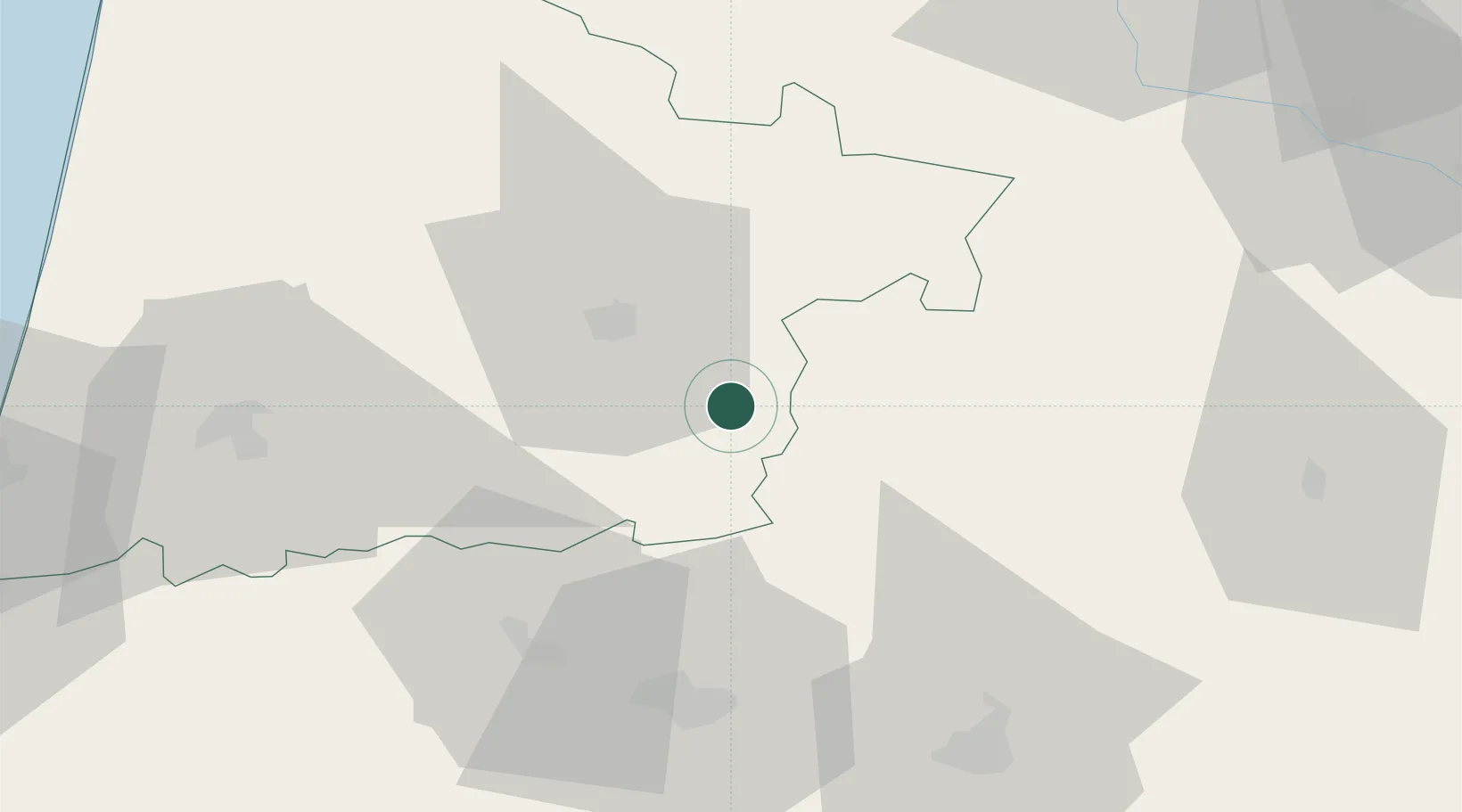
Hub Profile
Place type
Populated place
Region
Occitanie
Population
3,799
Time zone
Europe/Paris
Elevation
118 m
Location
Nearby Logistics Neighbours
Cities
- 1Aire-sur-l'Adour8 km
- 2Monguilhem13 km
- 3Monlezun-d'Armagnac13 km
- 4Arthez-d'Armagnac15 km
- 5Bougue16 km
Ports
- 1Bayonne99 km
- 2Bordeaux124 km
- 3Puerto De Pasajes140 km
- 4Ambes140 km
- 5Blaye155 km
Airports
Trade Zones
- 1ZFU Hauts de Garonne120 km
- 2Port de Bordeaux129 km
- 3Depósito Franco de Pasajes (Guipúzcoa)140 km
- 4ZFU Toulouse141 km
- 5Depósito Franco de Bilbao226 km
DatabookThe Record of Consolidated Knowledge
France beyond logistics?