Transport Functions
Port
Multimodal
Hub Profile
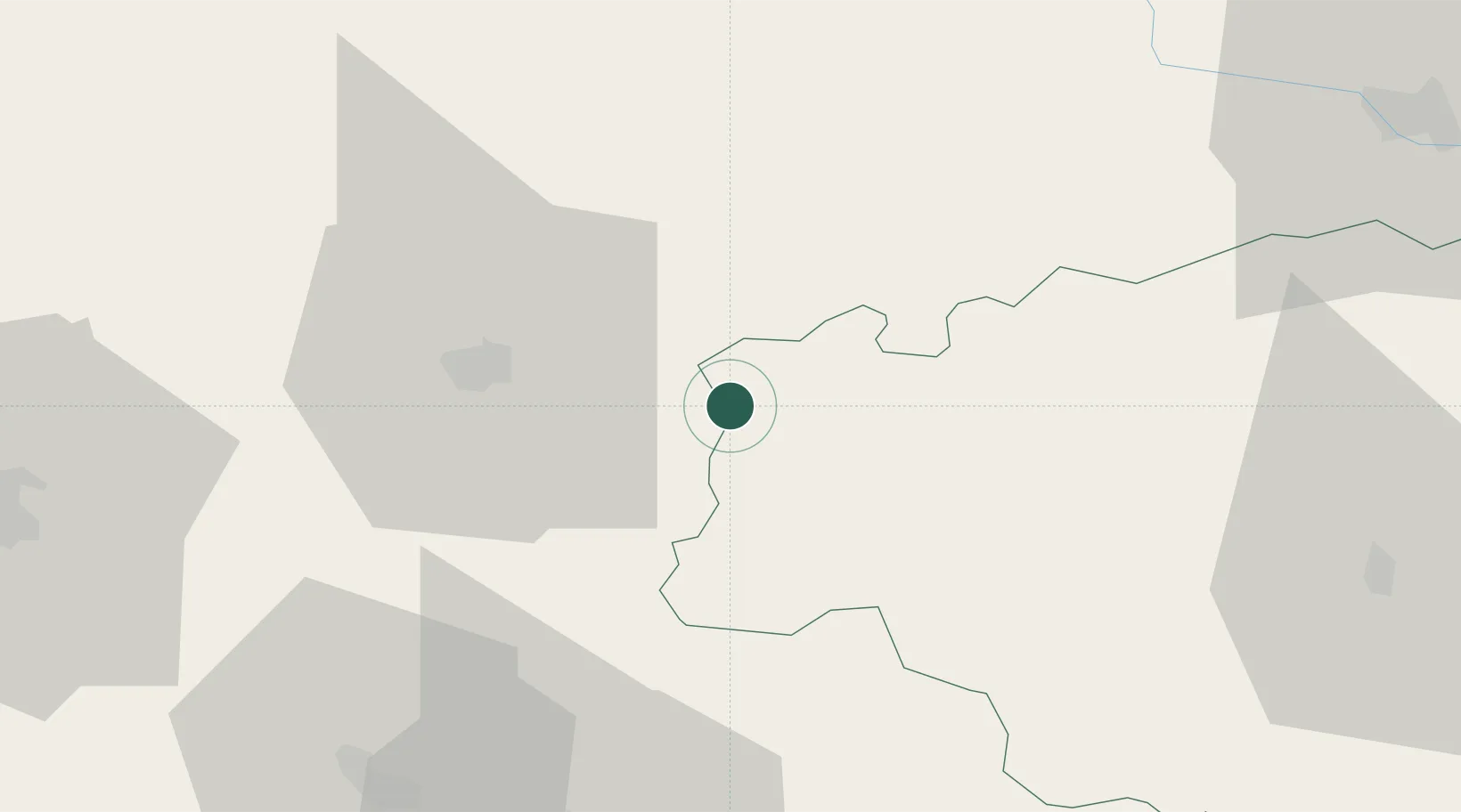
Place type
Populated place
Region
Occitanie
Population
315
Time zone
Europe/Paris
Elevation
85 m
Location
Nearby Logistics Neighbours
Cities
- 1Monlezun-d'Armagnac5 km
- 2Lannemaignan6 km
- 3Mauléon-d'Armagnac6 km
- 4Arthez-d'Armagnac9 km
- 5Lias-d'Armagnac10 km
Ports
- 1Bayonne110 km
- 2Bordeaux117 km
- 3Ambes133 km
- 4Blaye148 km
- 5Puerto De Pasajes152 km
Airports
Trade Zones
- 1ZFU Hauts de Garonne113 km
- 2Port de Bordeaux121 km
- 3ZFU Toulouse133 km
- 4Depósito Franco de Pasajes (Guipúzcoa)152 km
- 5Depósito Franco de Bilbao237 km
DatabookThe Record of Consolidated Knowledge
France beyond logistics?