Transport Functions
Multimodal
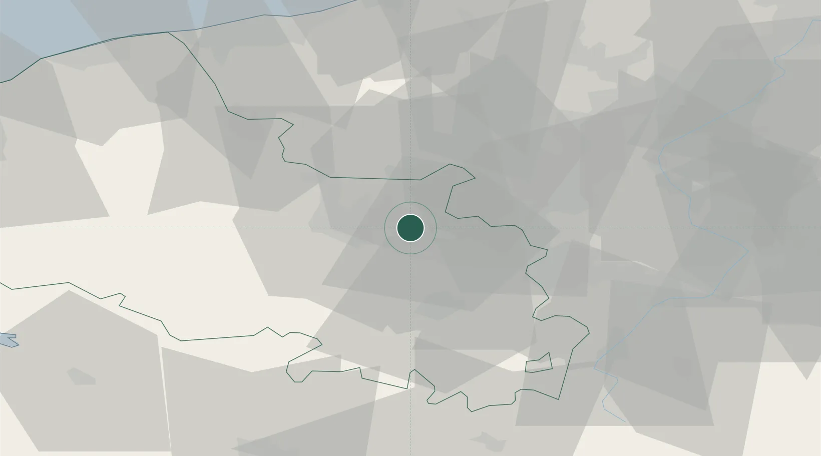
Hub Profile
Place type
Populated place
Region
Hauts-de-France
Population
2,067
Time zone
Europe/Paris
Elevation
27 m
Location
Nearby Logistics Neighbours
Cities
- 1Labourse1 km
- 2Beuvry2 km
- 3Béthune6 km
- 4Grenay6 km
- 5Fouquières-lès-Béthune6 km
Ports
- 1Dunkerque Port Est68 km
- 2Gravelines69 km
- 3Nieuwpoort71 km
- 4Calais79 km
- 5Boulogne-Sur-Mer82 km
Airports
DatabookThe Record of Consolidated Knowledge
France beyond logistics?