UN/LOCODE hub · France
FRHM8
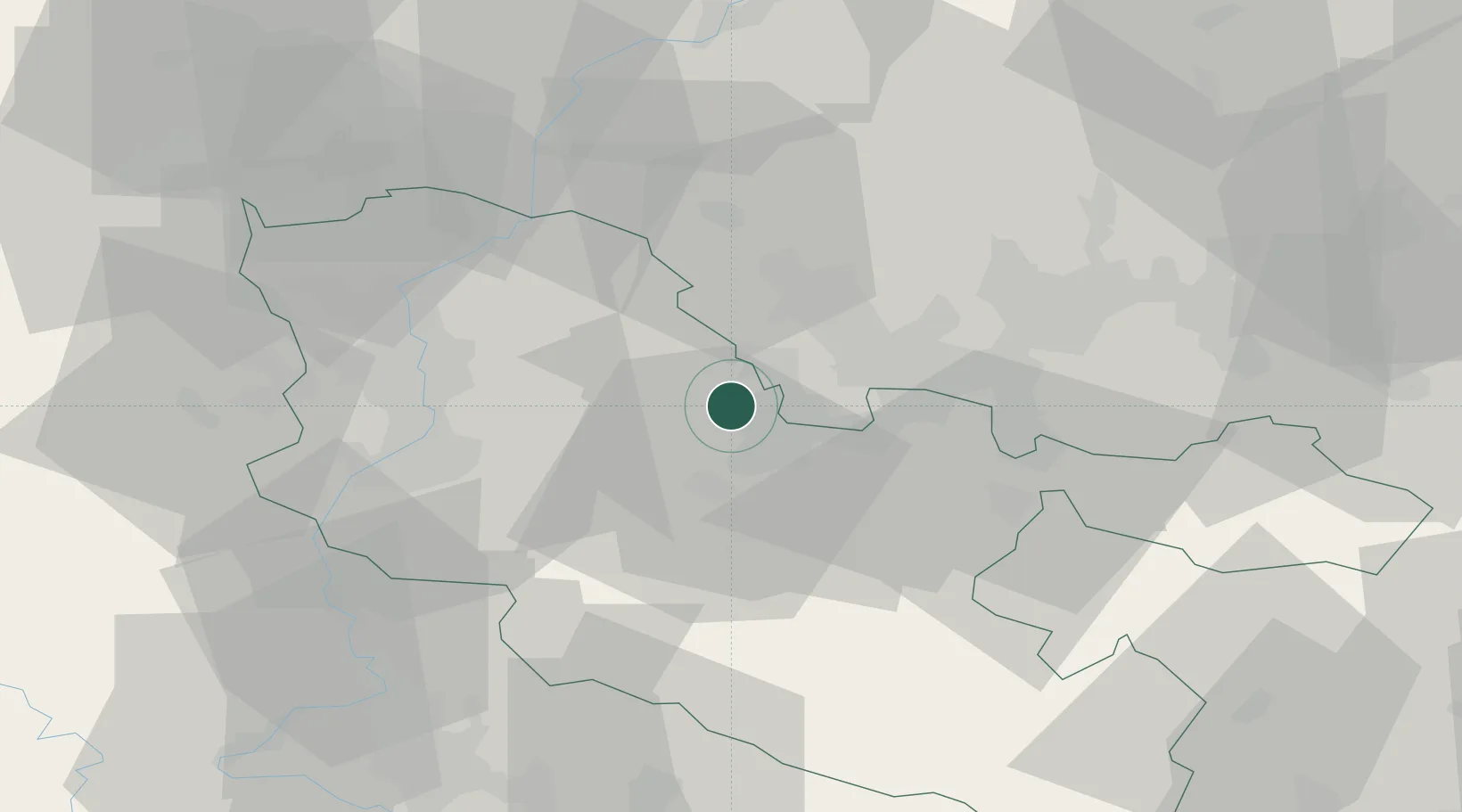
Ham-sous-Varsberg
49.1833°, 6.6333°
2,790
Population
1
Transport functions
Transport Functions
Multimodal
Hub Profile
Place type
Populated place
Region
Grand Est
Population
2,790
Time zone
Europe/Paris
Elevation
224 m
Location
Nearby Logistics Neighbours
Cities
- 1Creutzwald5 km
- 2Saint-Avold11 km
- 3Freyming-Merlebach13 km
- 4Grossrosseln15 km
- 5Wadgassen15 km
Airports
Trade Zones
- 1ZFU La Cité Behren-lès-Forbach22 km
- 2ZFU Woippy-Metz35 km
- 3ZFU Metz35 km
- 4Luxembourg Free Port59 km
- 5ZFU Maxéville, Laxou, et de Nancy63 km
DatabookThe Record of Consolidated Knowledge
France beyond logistics?