UN/LOCODE hub · France
FREVV

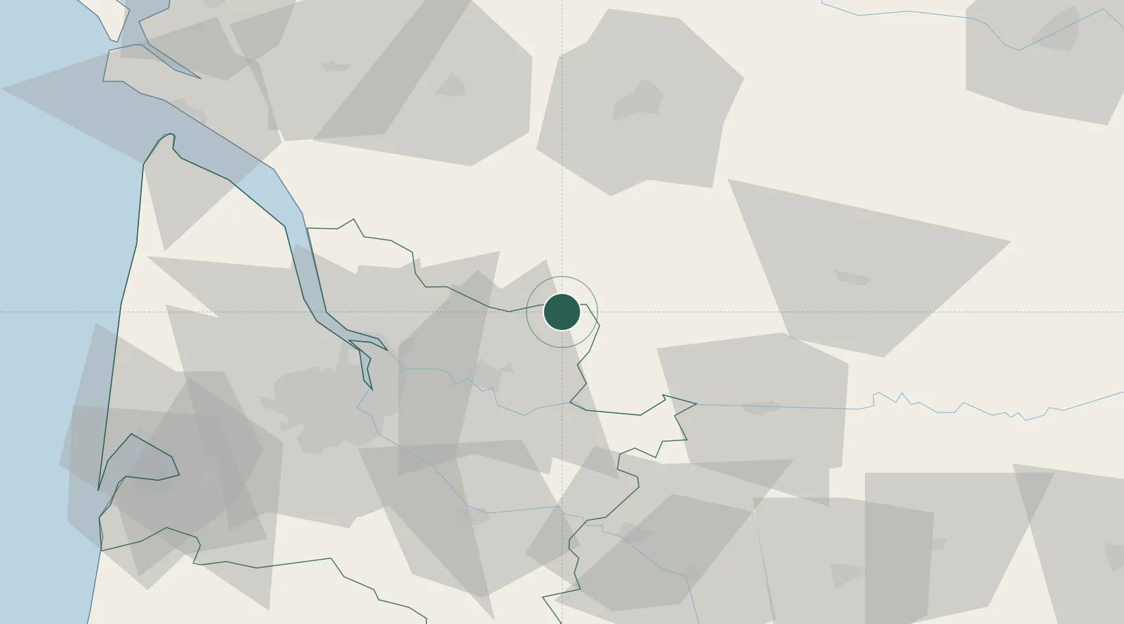
Les Églisottes-et-Chalaures

45.1000°, -0.0333°
2,073
Population
2
Transport functions

Transport Functions

Rail
Road
UN/LOCODE

Hub Profile

Place type
Populated place
GeoNames
Region
Nouvelle-Aquitaine
GeoNames
Population
2,073
GeoNames
Time zone
Europe/Paris
GeoNames
Elevation
25 m
GeoNames

Location

Location of FREVV
Natural Earth 10m (public domain) · Nouvelle-Aquitaine · FREVV · 45.10, -0.03GoogleOSMYandex

Nearby Logistics Neighbours

Cities
  1. 1Lagorce9 km
  2. 2Petit-Palais-et-Cornemps13 km
  3. 3Bayas14 km
  4. 4Saint-Martin-de-Laye16 km
  5. 5Maransin18 km
Nearest neighbours — logibook spatial index (haversine) over the source coordinates
Ports
  1. 1Ambes40 km
  2. 2Bordeaux49 km
  3. 3Blaye50 km
  4. 4Pauillac57 km
  5. 5Le Verdon94 km
Nearest neighbours — logibook spatial index (haversine) over the source coordinates
Airports
  1. 1Bergerac Dordogne-Périgord airport53 km
  2. 2Bordeaux–Mérignac Airport62 km
  3. 3Cognac-Châteaubernard (BA 709) Air Base66 km
  4. 4Périgueux-Bassillac Airport68 km
  5. 5Angoulême Brie-Champniers airport73 km
Nearest neighbours — logibook spatial index (haversine) over the source coordinates
Trade Zones
  1. 1Port de Bordeaux45 km
  2. 2ZFU Hauts de Garonne52 km
  3. 3ZFU La Rochelle150 km
  4. 4ZFU Toulouse204 km
  5. 5Depósito Franco de Pasajes (Guipúzcoa)249 km
Nearest neighbours — logibook spatial index (haversine) over the source coordinates
DatabookThe Record of Consolidated Knowledge
France beyond logistics?
Browse databook

All Sources

LocationsUN/LOCODE
UN/LOCODE — free
LocationsGeoNames
CC BY 4.0
Portsthe NGA World Port Index
Public domain (US gov)
AirportsOurAirports
Public domain
Trade Zonesthe World Bank SEZ database
CC BY 4.0
Trade ZonesOpen Zone Map
CC BY
← France locations