Transport Functions
Multimodal
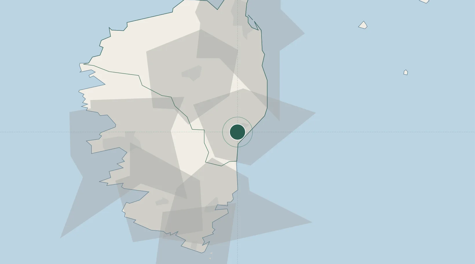
Hub Profile
Place type
Populated place
Region
Corsica
Population
3,515
Time zone
Europe/Paris
Elevation
16 m
Location
Nearby Logistics Neighbours
Cities
- 1Aghione9 km
- 2Antisanti17 km
- 3Tallone24 km
- 4Linguizzetta27 km
- 5Canale-di-Verde30 km
Ports
- 1Porto Vecchio49 km
- 2Port D' Ajaccio55 km
- 3Port De Propriano56 km
- 4Bonifacio73 km
- 5Bastia76 km
Airports
Trade Zones
- 1Sardinia Special Economic Zone Area162 km
- 2ZFU LAriane258 km
- 3ZFU Toulon309 km
- 4ZFU La Seyne-sur-Mer315 km
- 5Free Zone of Portovesme326 km
DatabookThe Record of Consolidated Knowledge
France beyond logistics?