Transport Functions
Multimodal
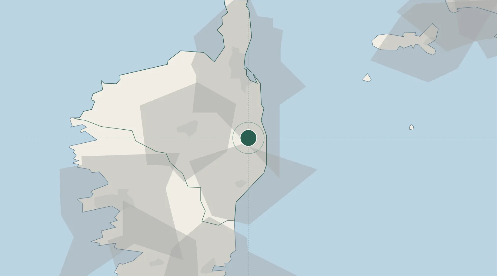
Hub Profile
Place type
Populated place
Region
Corsica
Population
364
Time zone
Europe/Paris
Elevation
431 m
Location
Nearby Logistics Neighbours
Cities
- 1Linguizzetta4 km
- 2Santa-Maria-Poggio6 km
- 3Tallone7 km
- 4San-Nicolao10 km
- 5Rapaggio12 km
Ports
- 1Bastia46 km
- 2L'ile Rousse59 km
- 3Calvi67 km
- 4Port D' Ajaccio72 km
- 5Porto Vecchio79 km
Airports
Trade Zones
- 1Sardinia Special Economic Zone Area192 km
- 2ZFU LAriane241 km
- 3ZFU Toulon303 km
- 4ZFU La Seyne-sur-Mer309 km
- 5Abruzzo Special Economic Zone319 km
DatabookThe Record of Consolidated Knowledge
France beyond logistics?