Transport Functions
Road
Multimodal
Hub Profile
Place type
Populated place
Region
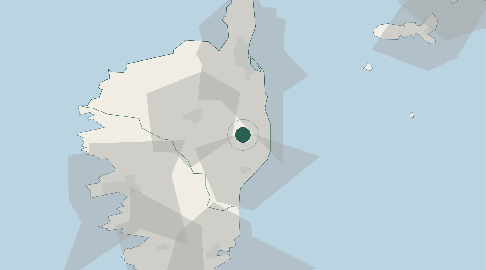
Corsica
Population
294
Time zone
Europe/Paris
Elevation
481 m
Location
Nearby Logistics Neighbours
Cities
- 1Linguizzetta5 km
- 2Canale-di-Verde7 km
- 3Antisanti9 km
- 4Santa-Maria-Poggio13 km
- 5Aghione15 km
Ports
- 1Bastia52 km
- 2L'ile Rousse60 km
- 3Port D' Ajaccio65 km
- 4Calvi66 km
- 5Porto Vecchio73 km
Airports
Trade Zones
- 1Sardinia Special Economic Zone Area186 km
- 2ZFU LAriane242 km
- 3ZFU Toulon301 km
- 4ZFU La Seyne-sur-Mer307 km
- 5Abruzzo Special Economic Zone323 km
DatabookThe Record of Consolidated Knowledge
France beyond logistics?