Transport Functions
Multimodal
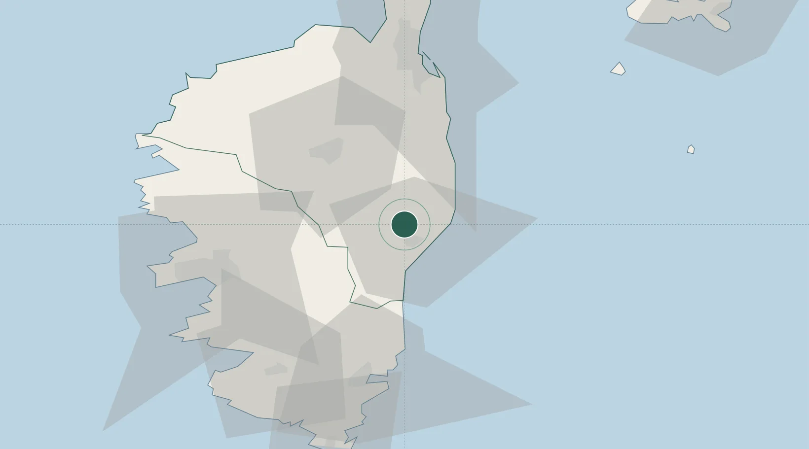
Hub Profile
Place type
Populated place
Region
Corsica
Population
267
Time zone
Europe/Paris
Elevation
62 m
Location
Nearby Logistics Neighbours
Cities
- 1Antisanti9 km
- 2Ghisonaccia9 km
- 3Tallone15 km
- 4Linguizzetta18 km
- 5Canale-di-Verde21 km
Ports
- 1Port D' Ajaccio57 km
- 2Porto Vecchio58 km
- 3Port De Propriano62 km
- 4Bastia67 km
- 5L'ile Rousse71 km
Airports
Trade Zones
- 1Sardinia Special Economic Zone Area171 km
- 2ZFU LAriane251 km
- 3ZFU Toulon305 km
- 4ZFU La Seyne-sur-Mer311 km
- 5Abruzzo Special Economic Zone325 km
DatabookThe Record of Consolidated Knowledge
France beyond logistics?