UN/LOCODE hub · France
FRL2B

Linguizzetta

42.2500°, 9.4667°
1,021
Population
1
Transport functions

Transport Functions

Multimodal
UN/LOCODE

Hub Profile

Place type
Populated place
GeoNames
Region
Corsica
GeoNames
Population
1,021
GeoNames
Time zone
Europe/Paris
GeoNames
Elevation
367 m
GeoNames

Location

Location of FRL2B
Natural Earth 10m (public domain) · Corsica · FRL2B · 42.25, 9.47GoogleOSMYandex

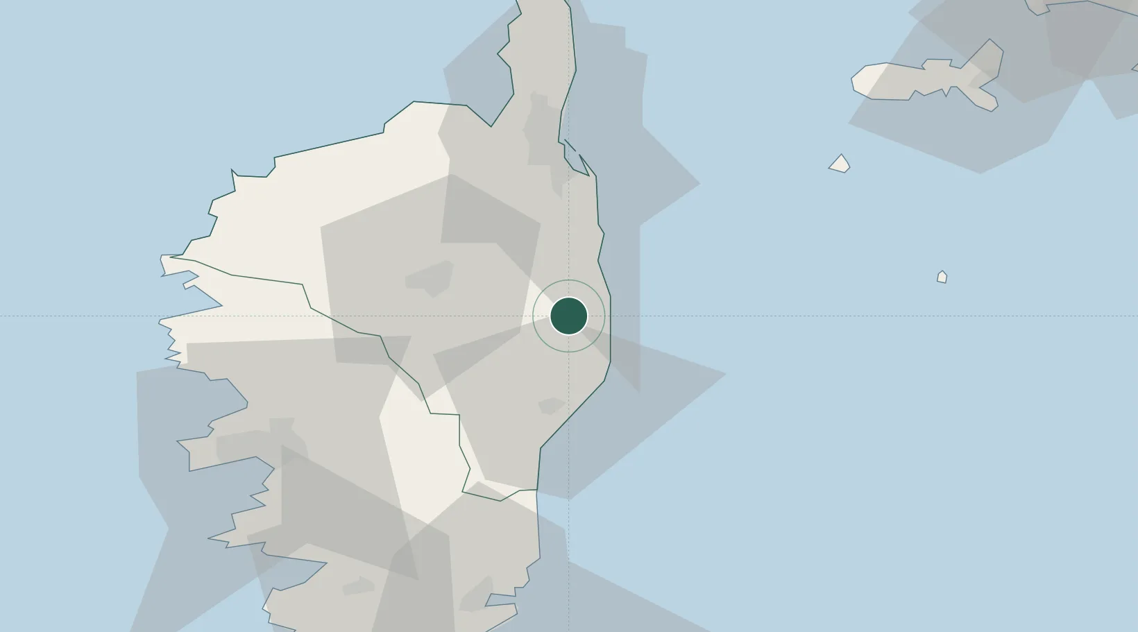
Nearby Logistics Neighbours

Cities
  1. 1Canale-di-Verde4 km
  2. 2Tallone5 km
  3. 3Santa-Maria-Poggio10 km
  4. 4San-Nicolao13 km
  5. 5Antisanti13 km
Nearest neighbours — logibook spatial index (haversine) over the source coordinates
Ports
  1. 1Bastia50 km
  2. 2L'ile Rousse61 km
  3. 3Calvi69 km
  4. 4Port D' Ajaccio70 km
  5. 5Porto Vecchio76 km
Nearest neighbours — logibook spatial index (haversine) over the source coordinates
Airports
  1. 1Bastia-Poretta International airport34 km
  2. 2Solenzara (BA 126) Air Base37 km
  3. 3Calvi Sainte Catherine Airport64 km
  4. 4Ajaccio Napoléon Bonaparte airport66 km
  5. 5Marina di Campo Airport85 km
Nearest neighbours — logibook spatial index (haversine) over the source coordinates
Trade Zones
  1. 1Sardinia Special Economic Zone Area189 km
  2. 2ZFU LAriane243 km
  3. 3ZFU Toulon304 km
  4. 4ZFU La Seyne-sur-Mer310 km
  5. 5Abruzzo Special Economic Zone319 km
Nearest neighbours — logibook spatial index (haversine) over the source coordinates
DatabookThe Record of Consolidated Knowledge
France beyond logistics?
Browse databook

All Sources

LocationsUN/LOCODE
UN/LOCODE — free
LocationsGeoNames
CC BY 4.0
Portsthe NGA World Port Index
Public domain (US gov)
AirportsOurAirports
Public domain
Trade Zonesthe World Bank SEZ database
CC BY 4.0
Trade ZonesOpen Zone Map
CC BY
← France locations