UN/LOCODE hub · France
FRPLC
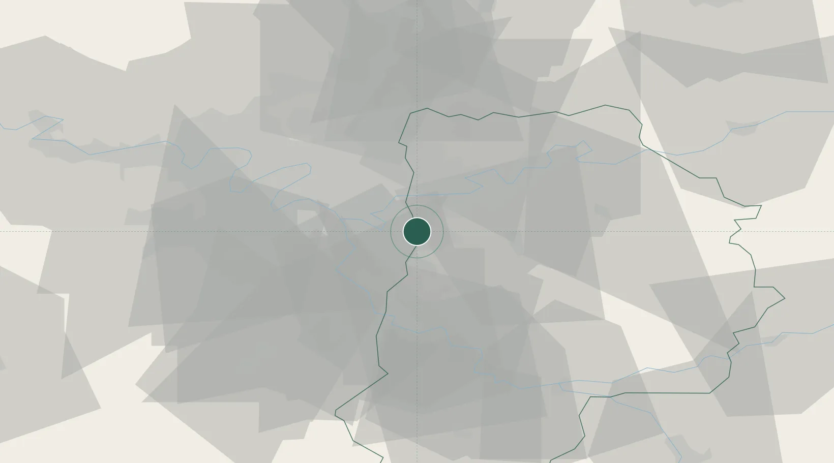
Pontault-Combault
48.7833°, 2.6000°
34,798
Population
2
Transport functions
Transport Functions
Rail
Road
Hub Profile
Place type
Populated place
Region
Île-de-France
Population
34,798
Time zone
Europe/Paris
Elevation
107 m
Location
Nearby Logistics Neighbours
Cities
- 1Ormesson-sur-Marne4 km
- 2Noiseau4 km
- 3Ozoir-la-Ferrière5 km
- 4Marne-la-Vallée6 km
- 5Villiers-sur-Marne7 km
Ports
- 1Port Of Rouen134 km
- 2Le Treport168 km
- 3Dieppe169 km
- 4Saint-Valery-Sur-Somme171 km
- 5Honfleur187 km
Airports
Trade Zones
DatabookThe Record of Consolidated Knowledge
France beyond logistics?