UN/LOCODE hub · France
FRIME

Ivry-en-Montagne

47.0333°, 4.6333°
197
Population
1
Transport functions

Transport Functions

Multimodal
UN/LOCODE

Hub Profile

Place type
Populated place
GeoNames
Region
Bourgogne
GeoNames
Population
197
GeoNames
Time zone
Europe/Paris
GeoNames
Elevation
480 m
GeoNames

Location

Location of FRIME
Natural Earth 10m (public domain) · Bourgogne · FRIME · 47.03, 4.63GoogleOSMYandex

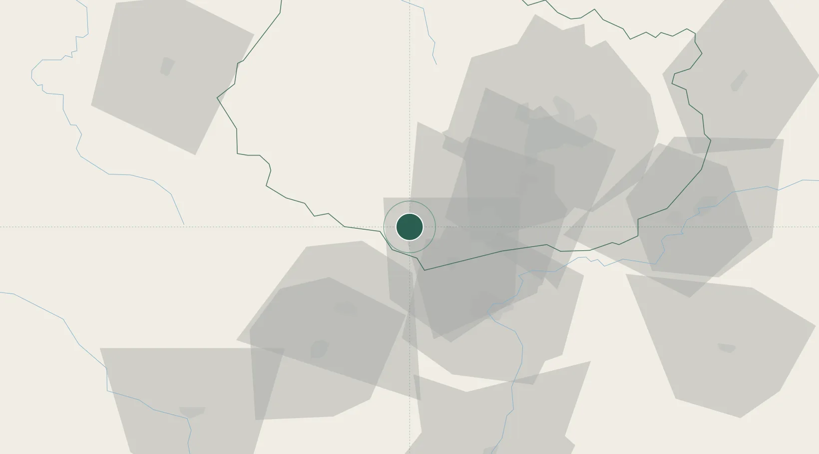
Nearby Logistics Neighbours

Cities
  1. 1Écutigny6 km
  2. 2Lusigny-sur-Ouche6 km
  3. 3Saint-Romain6 km
  4. 4Meloisey8 km
  5. 5Mavilly-Mandelot8 km
Nearest neighbours — logibook spatial index (haversine) over the source coordinates
Ports
  1. 1Port Of Rouen377 km
  2. 2Fos403 km
  3. 3Port-de-Bouc405 km
  4. 4Port Saint Louis Du Rhone406 km
  5. 5Sete411 km
Nearest neighbours — logibook spatial index (haversine) over the source coordinates
Airports
  1. 1Dijon Longvic airport43 km
  2. 2Dole Tavaux Airport60 km
  3. 3Mâcon-Charnay Airfield83 km
  4. 4Saint-Yan Airport84 km
  5. 5Nevers-Fourchambault Airport115 km
Nearest neighbours — logibook spatial index (haversine) over the source coordinates
Trade Zones
  1. 1ZFU Chenôve39 km
  2. 2ZFU Besancon107 km
  3. 3ZFU Rillieux-la-Pape135 km
  4. 4ZFU Lyon 9e141 km
  5. 5ZFU Vaulx-en-Velin141 km
Nearest neighbours — logibook spatial index (haversine) over the source coordinates
DatabookThe Record of Consolidated Knowledge
France beyond logistics?
Browse databook

All Sources

LocationsUN/LOCODE
UN/LOCODE — free
LocationsGeoNames
CC BY 4.0
Portsthe NGA World Port Index
Public domain (US gov)
AirportsOurAirports
Public domain
Trade Zonesthe World Bank SEZ database
CC BY 4.0
Trade ZonesOpen Zone Map
CC BY
← France locations