Transport Functions
Rail
Road
Hub Profile
Place type
Populated place
Region
Bourgogne
Population
1,929
Time zone
Europe/Paris
Elevation
273 m
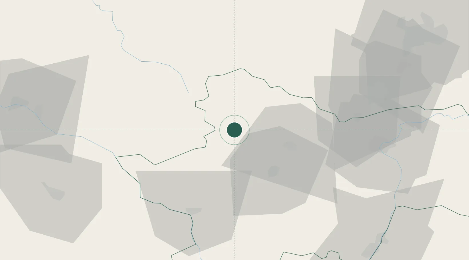
Location
Nearby Logistics Neighbours
Cities
- 1Saint-Forgeot17 km
- 2Le Creusot20 km
- 3Vernizy24 km
- 4Sanvignes-les-Mines24 km
- 5Le Breuil24 km
Ports
- 1Port Of Rouen369 km
- 2Sete387 km
- 3Fos388 km
- 4Port Saint Louis Du Rhone391 km
- 5Port-de-Bouc391 km
Airports
- 1Saint-Yan Airport52 km
- 2Mâcon-Charnay Airfield79 km
- 3Dijon Longvic airport82 km
- 4Nevers-Fourchambault Airport83 km
- 5Roanne-Renaison Airport92 km
Trade Zones
- 1ZFU Chenôve77 km
- 2ZFU Rillieux-la-Pape127 km
- 3ZFU Lyon 9e131 km
- 4ZFU Vaulx-en-Velin133 km
- 5ZFU Vénissieux140 km
DatabookThe Record of Consolidated Knowledge
France beyond logistics?