Transport Functions
Rail
Road
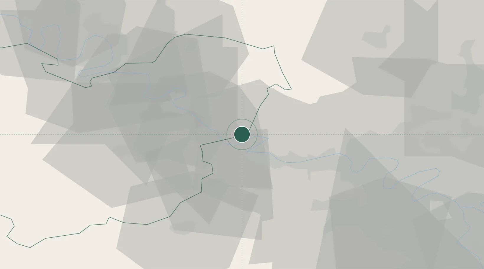
Hub Profile
Place type
Populated place
Region
Normandy
Population
3,093
Time zone
Europe/Paris
Elevation
27 m
Location
Nearby Logistics Neighbours
Cities
- 1Limetz-Villez4 km
- 2Bonnières-sur-Seine6 km
- 3Bennecourt6 km
- 4Sandrancourt7 km
- 5Saint-Martin-la-Garenne8 km
Ports
- 1Port Of Rouen56 km
- 2Dieppe102 km
- 3Honfleur107 km
- 4Le Treport111 km
- 5Deauville115 km
Airports
Trade Zones
- 1ZFU Mantes-la-Jolie13 km
- 2ZFU Les Mureaux24 km
- 3ZFU Évreux33 km
- 4ZFU Dreux et Sainte-Gemme-Moronval40 km
- 5ZFU Sartrouville44 km
DatabookThe Record of Consolidated Knowledge
France beyond logistics?