Transport Functions
Rail
Road
Multimodal
Hub Profile
Place type
Populated place
Region
Occitanie
Time zone
Europe/Paris
Elevation
37 m
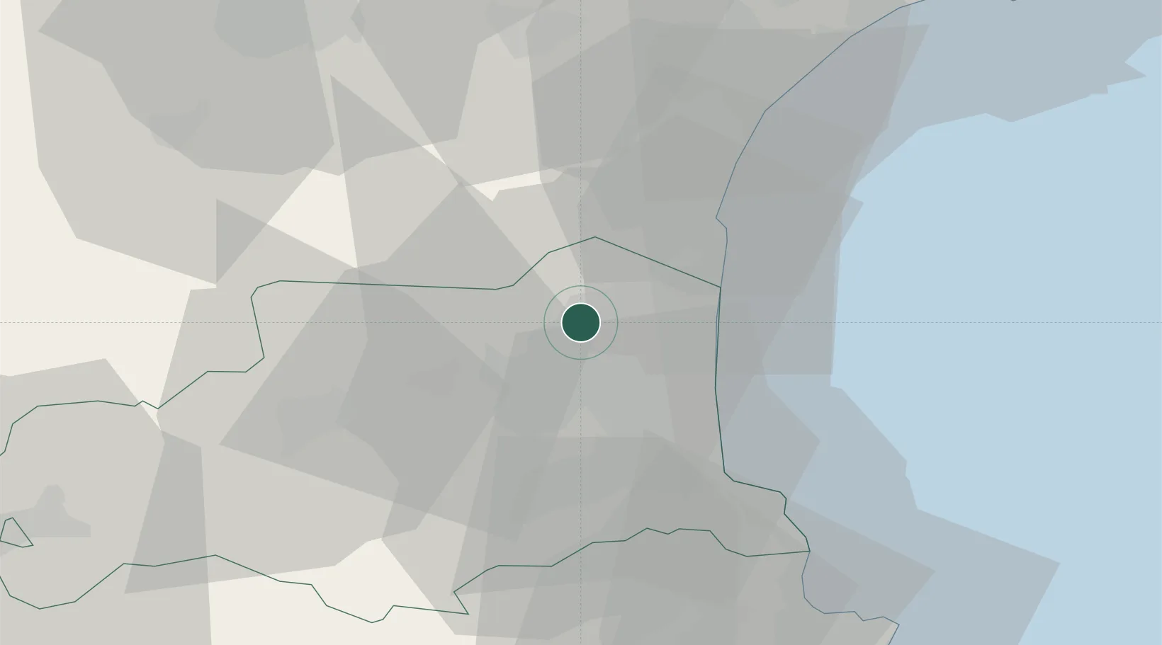
Location
Nearby Logistics Neighbours
Cities
- 1Rivesaltes3 km
- 2Calce7 km
- 3Tautavel8 km
- 4Vingrau9 km
- 5Salses-le-Château9 km
Ports
- 1Port-La-Nouvelle32 km
- 2Port-Vendres38 km
- 3Rosas64 km
- 4Sete98 km
- 5Palamos108 km
Airports
Trade Zones
- 1ZFU Perpignan11 km
- 2ZFU Béziers69 km
- 3ZFU Montpellier123 km
- 4ZFU Toulouse145 km
- 5ZFU Nîmes168 km
DatabookThe Record of Consolidated Knowledge
France beyond logistics?