Transport Functions
Road
Multimodal
Hub Profile
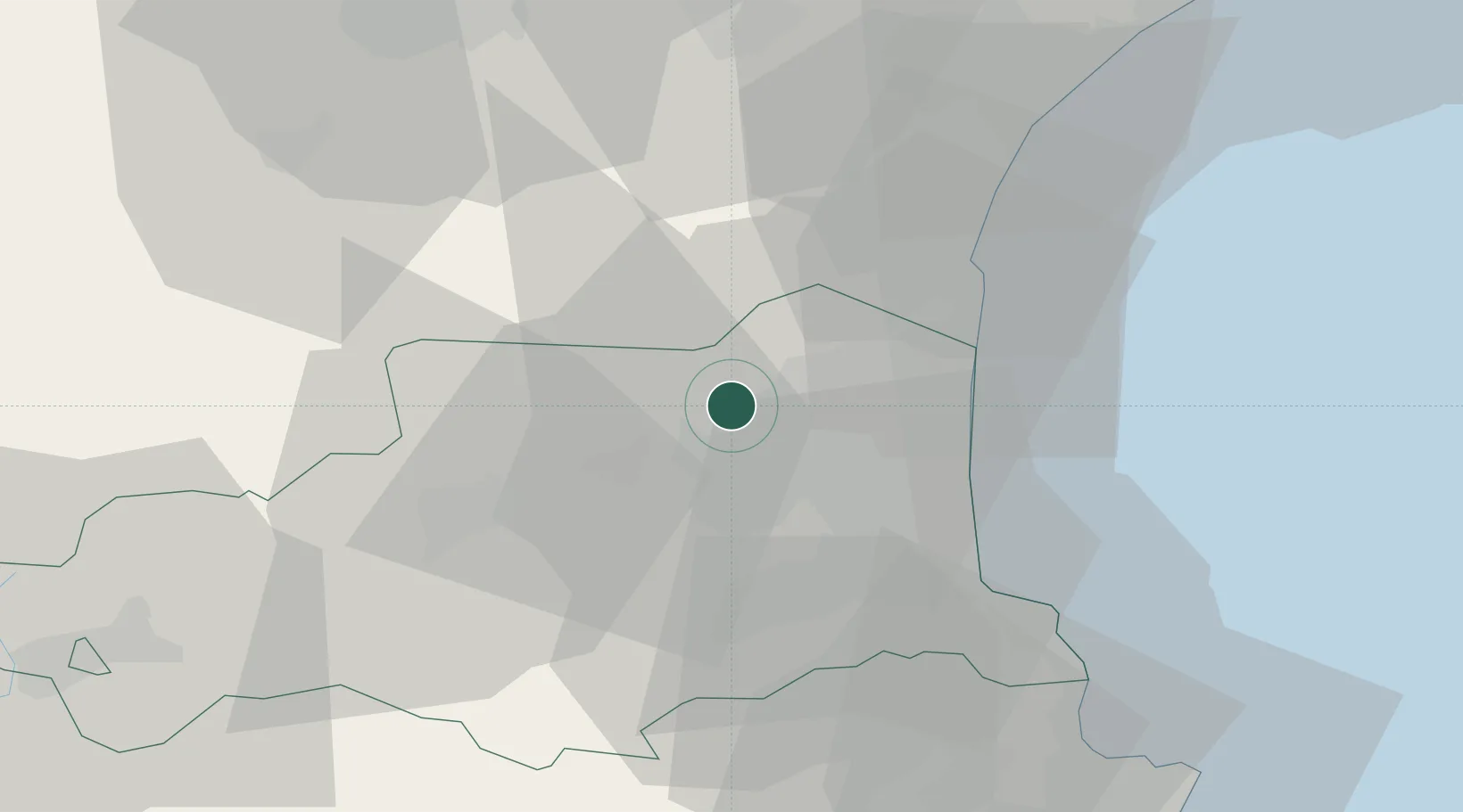
Place type
Populated place
Region
Occitanie
Population
201
Time zone
Europe/Paris
Elevation
230 m
Location
Nearby Logistics Neighbours
Cities
- 1Estagel4 km
- 2Tautavel6 km
- 3Montner6 km
- 4Espira-de-l'Agly7 km
- 5Corneilla-la-Rivière8 km
Ports
- 1Port-La-Nouvelle38 km
- 2Port-Vendres41 km
- 3Rosas66 km
- 4Sete105 km
- 5Palamos108 km
Airports
Trade Zones
- 1ZFU Perpignan14 km
- 2ZFU Béziers74 km
- 3ZFU Montpellier129 km
- 4ZFU Toulouse141 km
- 5Zona Franca de Barcelona167 km
DatabookThe Record of Consolidated Knowledge
France beyond logistics?