UN/LOCODE hub · France
FRSAC
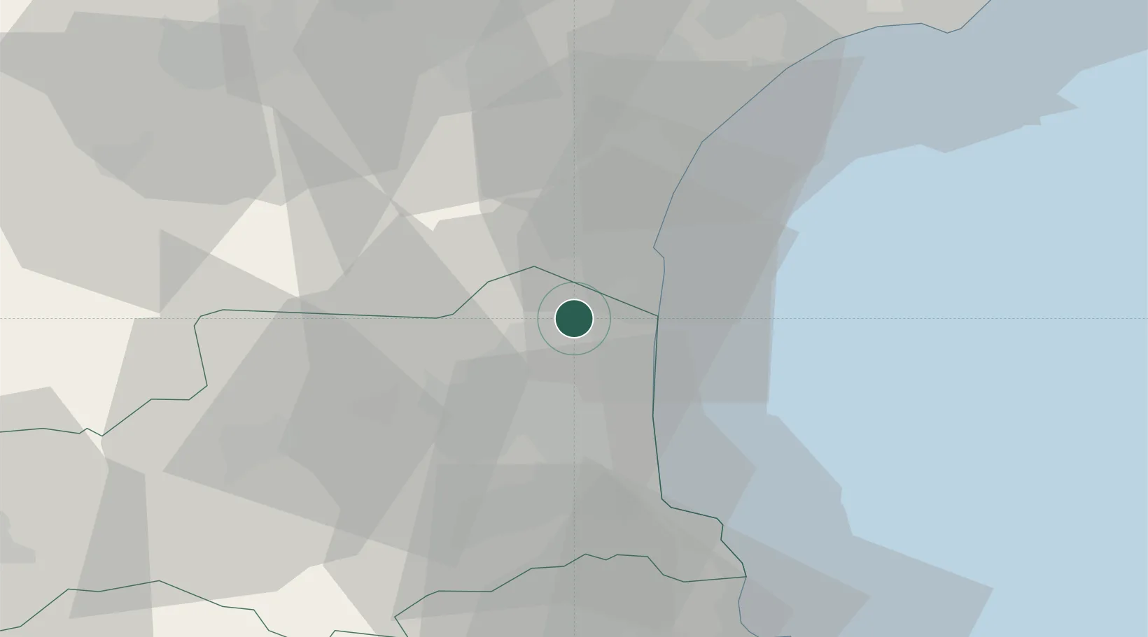
Salses-le-Château
42.8333°, 2.9167°
2,740
Population
2
Transport functions
Transport Functions
Rail
Road
Hub Profile
Place type
Populated place
Region
Occitanie
Population
2,740
Time zone
Europe/Paris
Elevation
13 m
Location
Nearby Logistics Neighbours
Cities
- 1Saint-Hippolyte7 km
- 2Rivesaltes9 km
- 3Espira-de-l'Agly9 km
- 4Fitou9 km
- 5Treilles10 km
Ports
- 1Port-La-Nouvelle24 km
- 2Port-Vendres39 km
- 3Rosas67 km
- 4Sete90 km
- 5Palamos112 km
Airports
Trade Zones
- 1ZFU Perpignan15 km
- 2ZFU Béziers61 km
- 3ZFU Montpellier114 km
- 4ZFU Toulouse147 km
- 5ZFU Nîmes160 km
DatabookThe Record of Consolidated Knowledge
France beyond logistics?