Transport Functions
Multimodal
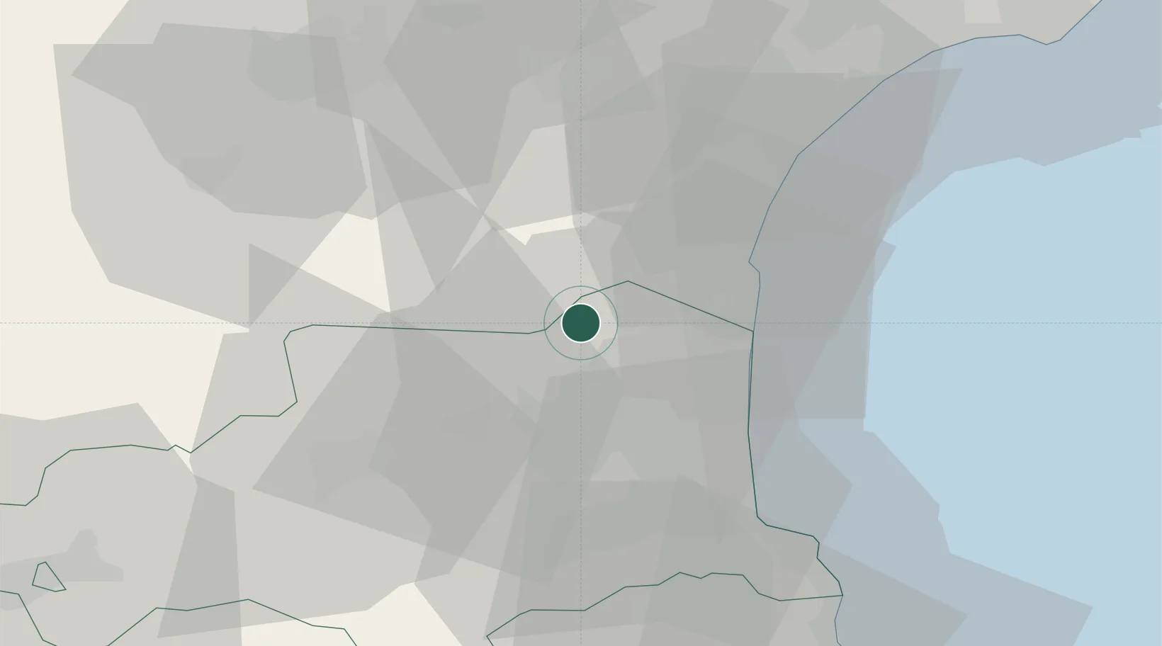
Hub Profile
Place type
Populated place
Region
Occitanie
Population
513
Time zone
Europe/Paris
Elevation
149 m
Location
Nearby Logistics Neighbours
Cities
- 1Tautavel5 km
- 2Paziols5 km
- 3Espira-de-l'Agly9 km
- 4Embres-et-Castelmaure10 km
- 5Calce10 km
Ports
- 1Port-La-Nouvelle30 km
- 2Port-Vendres46 km
- 3Rosas73 km
- 4Sete96 km
- 5Palamos116 km
Airports
Trade Zones
- 1ZFU Perpignan19 km
- 2ZFU Béziers64 km
- 3ZFU Montpellier120 km
- 4ZFU Toulouse137 km
- 5ZFU Nîmes166 km
DatabookThe Record of Consolidated Knowledge
France beyond logistics?