Transport Functions
Multimodal
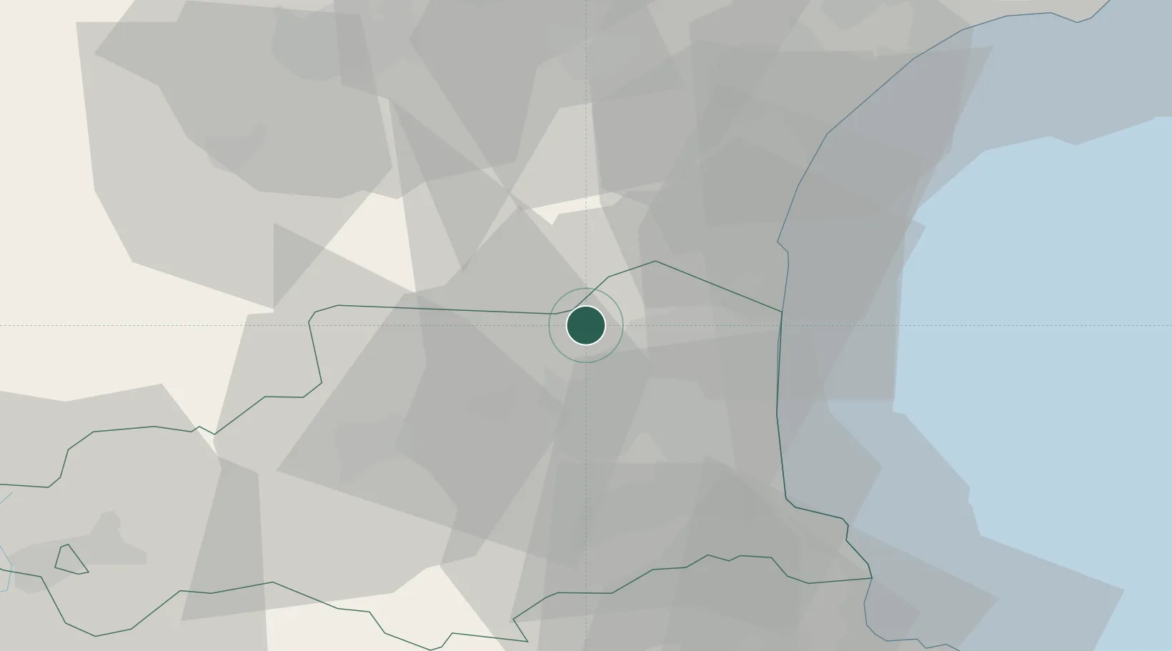
Hub Profile
Place type
Populated place
Region
Occitanie
Population
928
Time zone
Europe/Paris
Elevation
111 m
Location
Nearby Logistics Neighbours
Cities
- 1Paziols5 km
- 2Vingrau5 km
- 3Calce6 km
- 4Estagel7 km
- 5Espira-de-l'Agly8 km
Ports
- 1Port-La-Nouvelle34 km
- 2Port-Vendres45 km
- 3Rosas71 km
- 4Sete101 km
- 5Palamos113 km
Airports
Trade Zones
- 1ZFU Perpignan18 km
- 2ZFU Béziers69 km
- 3ZFU Montpellier125 km
- 4ZFU Toulouse138 km
- 5ZFU Nîmes171 km
DatabookThe Record of Consolidated Knowledge
France beyond logistics?