Transport Functions
Rail
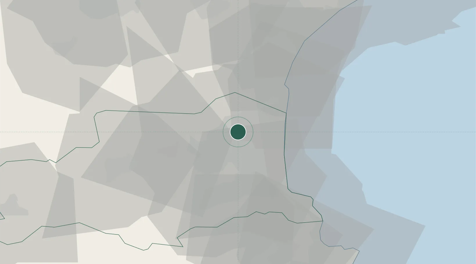
Hub Profile
Place type
Populated place
Region
Occitanie
Population
8,836
Time zone
Europe/Paris
Elevation
29 m
Location
Nearby Logistics Neighbours
Cities
- 1Espira-de-l'Agly3 km
- 2Perpignan8 km
- 3Saint-Hippolyte8 km
- 4Salses-le-Château9 km
- 5Villeneuve-la-Rivière9 km
Ports
- 1Port-La-Nouvelle32 km
- 2Port-Vendres35 km
- 3Rosas61 km
- 4Sete98 km
- 5Palamos106 km
Airports
Trade Zones
- 1ZFU Perpignan8 km
- 2ZFU Béziers69 km
- 3ZFU Montpellier123 km
- 4ZFU Toulouse148 km
- 5ZFU Nîmes168 km
DatabookThe Record of Consolidated Knowledge
France beyond logistics?