Transport Functions
Rail
Road
Airport
Hub Profile
Place type
Provincial seat
Region
Rhône-Alpes
Population
176,280
Time zone
Europe/Paris
Elevation
529 m
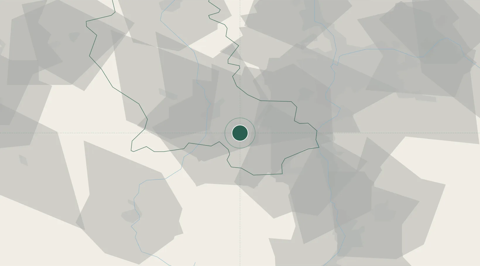
Location
Nearby Logistics Neighbours
Cities
- 1Chateaucreux/Saint-Etienne1 km
- 2La Ricamarie5 km
- 3Lussan8 km
- 4Saint-Just-Malmont13 km
- 5Saint-Paul-en-Jarez15 km
Ports
- 1Fos228 km
- 2Port Saint Louis Du Rhone230 km
- 3Port-de-Bouc231 km
- 4Sete233 km
- 5Marseille248 km
Airports
- 1Saint-Étienne-Bouthéon Airport14 km
- 2Lyon Bron Airport54 km
- 3Lyon Saint-Exupéry Airport63 km
- 4Le Puy-Loudes Airfield63 km
- 5Valence-Chabeuil Airport72 km
Trade Zones
- 1ZFU Saint-Etienne8 km
- 2ZFU Vénissieux46 km
- 3ZFU Lyon 9e49 km
- 4ZFU Vaulx-en-Velin56 km
- 5ZFU Rillieux-la-Pape57 km
DatabookThe Record of Consolidated Knowledge
France beyond logistics?