UN/LOCODE hub · France
FRJMT
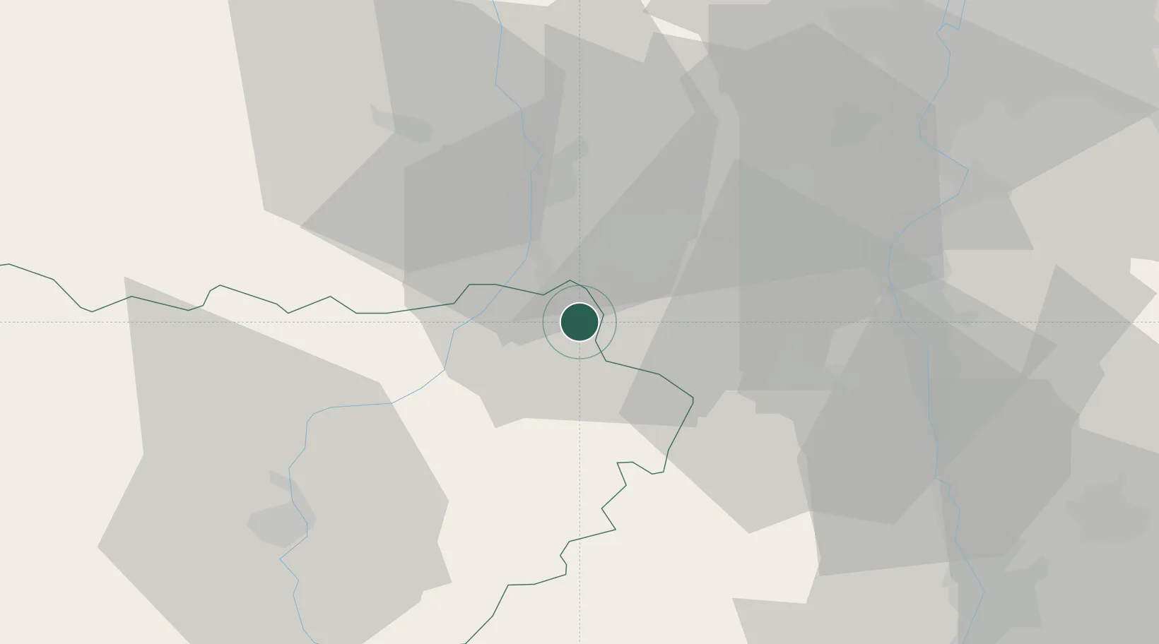
Saint-Just-Malmont
45.3333°, 4.3167°
4,132
Population
2
Transport functions
Transport Functions
Road
Multimodal
Hub Profile
Place type
Populated place
Region
Rhône-Alpes
Population
4,132
Time zone
Europe/Paris
Elevation
830 m
Location
Nearby Logistics Neighbours
Cities
- 1Saint-Didier-en-Velay5 km
- 2La Ricamarie8 km
- 3Chateaucreux/Saint-Etienne12 km
- 4Saint-Étienne13 km
- 5Bourg-Argental19 km
Ports
- 1Fos218 km
- 2Port Saint Louis Du Rhone220 km
- 3Sete221 km
- 4Port-de-Bouc221 km
- 5Marseille239 km
Airports
- 1Saint-Étienne-Bouthéon Airport23 km
- 2Le Puy-Loudes Airfield52 km
- 3Lyon Bron Airport66 km
- 4Valence-Chabeuil Airport69 km
- 5Lyon Saint-Exupéry Airport74 km
Trade Zones
- 1ZFU Saint-Etienne10 km
- 2ZFU Vénissieux58 km
- 3ZFU Valence62 km
- 4ZFU Lyon 9e62 km
- 5ZFU Vaulx-en-Velin69 km
DatabookThe Record of Consolidated Knowledge
France beyond logistics?